Periodic Spring things to do, attractions, restaurants, events info and trip planning

Basic Info
Periodic Spring
Wyoming 83110
4.9(33)
Save
spot
spot
Ratings & Description
Info
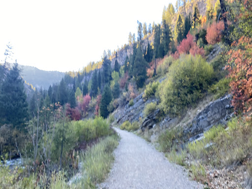
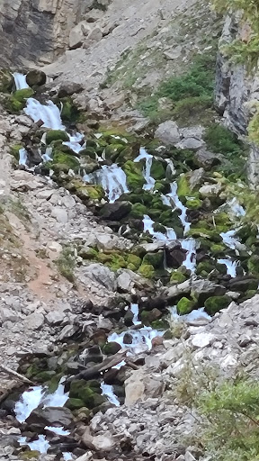
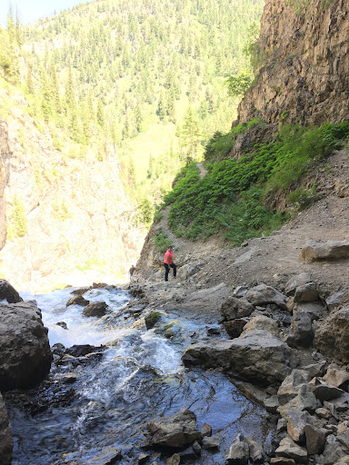
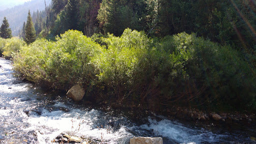
Intermittent Spring, also called Periodic Spring, is located in Swift Creek canyon in Star Valley, near Afton, Wyoming. It is the largest rhythmic spring in the world. The great great grandfather of Rulon Gardner is credited with the discovery. Gardner says, "He was up there logging.
Outdoor
Scenic
Adventure
Family friendly
Pet friendly
attractions: , restaurants: , local businesses:
Plan your stay

Pet-friendly Hotels in Wyoming
Find a cozy hotel nearby and make it a full experience.

Affordable Hotels in Wyoming
Find a cozy hotel nearby and make it a full experience.

The Coolest Hotels You Haven't Heard Of (Yet)
Find a cozy hotel nearby and make it a full experience.

Trending Stays Worth the Hype in Wyoming
Find a cozy hotel nearby and make it a full experience.