Rimcrest Trail Head things to do, attractions, restaurants, events info and trip planning
Basic Info
Rimcrest Trail Head
Rimcrest Dr, Yorba Linda, CA 92886
4.6(206)
Open until 7:00 PM
Save
spot
spot
Ratings & Description
Info
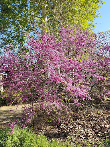
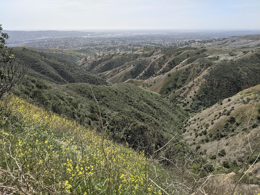
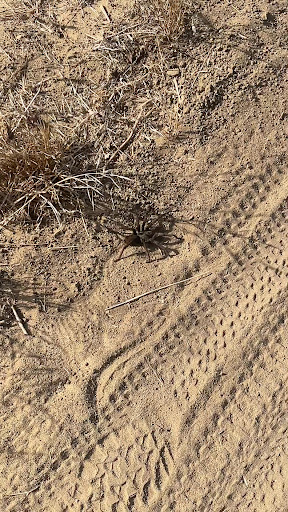
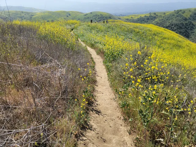
Outdoor
Adventure
Scenic
Pet friendly
Family friendly
Off the beaten path
attractions: Quarter Horse Drive Trailhead, restaurants: , local businesses:
Website
parks.ca.gov
Open hoursSee all hours
Wed6 AM - 7 PMOpen
Plan your stay

Pet-friendly Hotels in Yorba Linda
Find a cozy hotel nearby and make it a full experience.

Affordable Hotels in Yorba Linda
Find a cozy hotel nearby and make it a full experience.

The Coolest Hotels You Haven't Heard Of (Yet)
Find a cozy hotel nearby and make it a full experience.

Trending Stays Worth the Hype in Yorba Linda
Find a cozy hotel nearby and make it a full experience.
Reviews
Live events

Rent The Runway Warehouse Sale - Tustin, CA
Thu, Jan 29 • 11:00 AM
2227 Park Avenue Tustin, CA 92782
View details

A Therapists Journey Through Struggle, Setbacks, and Support
Thu, Jan 29 • 6:00 PM
265 South Anita Drive Orange, CA 92868
View details

80s & 90s Sip N Paint Sing Along
Thu, Jan 29 • 7:00 PM
7013 Greenleaf Avenue Whittier, CA 90602
View details
Nearby attractions of Rimcrest Trail Head
Quarter Horse Drive Trailhead

Quarter Horse Drive Trailhead
4.7
(29)
Open 24 hours
Click for details