Parque Provincial Aconcagua things to do, attractions, restaurants, events info and trip planning
Basic Info
Parque Provincial Aconcagua
RN7 10, Puente del Inca, Mendoza, Argentina
4.7(17)
Closed

tickets
Save
spot
spot
Ratings & Description
Info
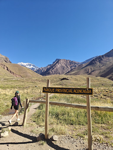
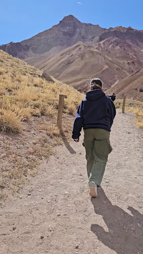
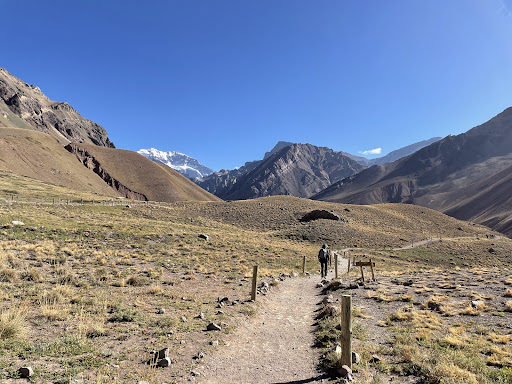
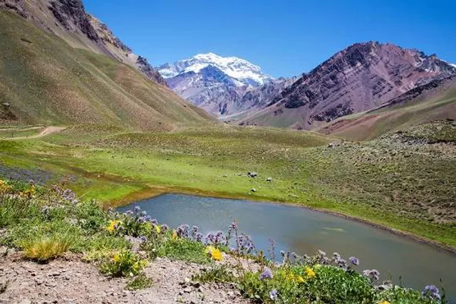
Parque Provincial Aconcagua is a protected area in the Argentinean Andes, on the Chilean border. It’s home to snow-capped Mount Aconcagua, South America’s tallest peak. A trail leads from the park’s entrance to Los Horcones Lagoon and the Durazno Ravine. Huge Andean condors thrive in the high altitude. Nearby is the Puente del Inca, where an orange rock formation makes a natural bridge over Las Cuevas River.
Adventure
Outdoor
Family friendly
attractions: , restaurants: , local businesses:
Phone
+54 261 425-8751
Website
aconcagua.mendoza.gov.ar
Open hoursSee all hours
SunClosed
Plan your stay

Pet-friendly Hotels in Mendoza
Find a cozy hotel nearby and make it a full experience.

Affordable Hotels in Mendoza
Find a cozy hotel nearby and make it a full experience.

The Coolest Hotels You Haven't Heard Of (Yet)
Find a cozy hotel nearby and make it a full experience.

Trending Stays Worth the Hype in Mendoza
Find a cozy hotel nearby and make it a full experience.