Goodan Ranch things to do, attractions, restaurants, events info and trip planning
Basic Info
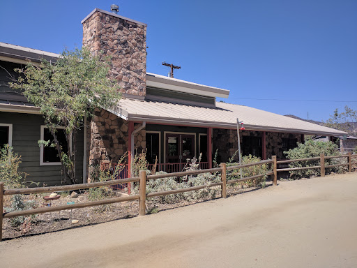
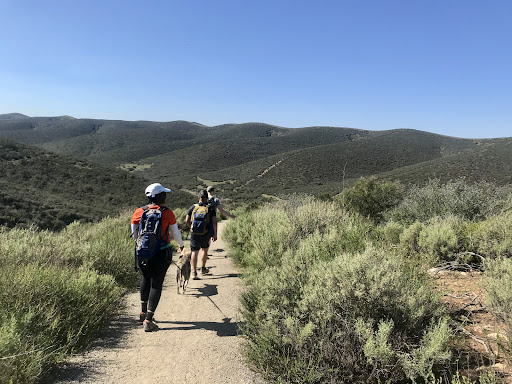
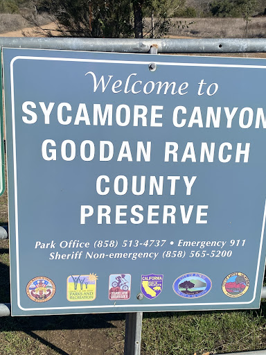
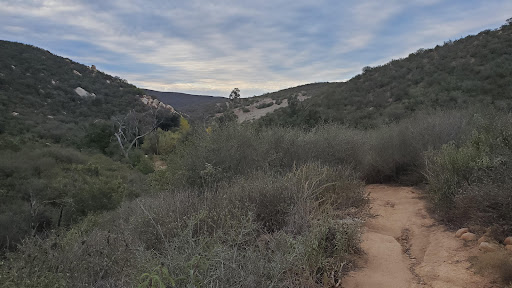
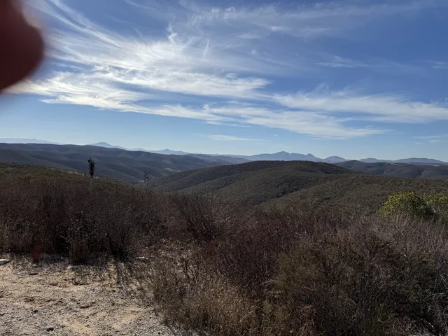
Goodan Ranch
16281 Sycamore Canyon Rd, Poway, CA 92064
4.0(35)
Ratings & Description
Info
This tranquil 2,272-acre preserve is a hiking destination with canyons, ravines & rolling hills.
attractions: , restaurants: , local businesses:
Phone
(858) 513-4737
Website
sdparks.org
Plan your stay

Pet-friendly Hotels in Poway
Find a cozy hotel nearby and make it a full experience.

Affordable Hotels in Poway
Find a cozy hotel nearby and make it a full experience.

The Coolest Hotels You Haven't Heard Of (Yet)
Find a cozy hotel nearby and make it a full experience.

Trending Stays Worth the Hype in Poway
Find a cozy hotel nearby and make it a full experience.
Reviews
Live events

The Art of Banksy: Without Limits Exhibition
Mon, Feb 16 • 6:00 PM
2260 Jimmy Durante Blvd, 92014
View details

Soulful Sages: Improv
Tue, Feb 17 • 10:00 AM
1613 Lake Drive Encinitas, CA 92024
View details

SD & Temecula Homeowners: Energy & Storage Dinner at STONE ESCONDIDO
Tue, Feb 17 • 6:00 PM
1999 Citracado Parkway Escondido, CA 92029
View details