Carbon Glacier Trail things to do, attractions, restaurants, events info and trip planning
Basic Info
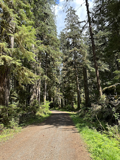
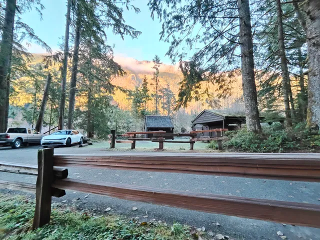
Carbon Glacier Trail
Carbonado, WA 98323
4.0(19)
Ratings & Description
Info
attractions: Carbon River Rainforest Trail, restaurants: , local businesses:
Website
nps.gov
Plan your stay

Pet-friendly Hotels in Prairie Ridge
Find a cozy hotel nearby and make it a full experience.

Affordable Hotels in Prairie Ridge
Find a cozy hotel nearby and make it a full experience.

The Coolest Hotels You Haven't Heard Of (Yet)
Find a cozy hotel nearby and make it a full experience.

Trending Stays Worth the Hype in Prairie Ridge
Find a cozy hotel nearby and make it a full experience.
Reviews
Live events

Macrame for Galentines Day Disco Ball Hanger Workshop
Thu, Feb 26 • 6:00 PM
19001 Cascadia Boulevard East Bonney Lake, WA 98391
View details

Nisqually Community Forest Snowshoe Tour
Fri, Feb 27 • 8:30 AM
30027 Washington 706 Ashford, WA 98304
View details

Hotties of Comedy: Standup Show at Chalet Theatre
Fri, Feb 27 • 7:30 PM
1721 Wells Street Enumclaw, WA 98022
View details
Nearby attractions of Carbon Glacier Trail
Carbon River Rainforest Trail
Carbon River Rainforest Trail
4.7
(116)
Open until 12:00 AM
Click for details