Mount Sikaram things to do, attractions, restaurants, events info and trip planning
Basic Info
Mount Sikaram
Mount Sikaram
4.4(51)
Save
spot
spot
Ratings & Description
Info
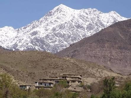
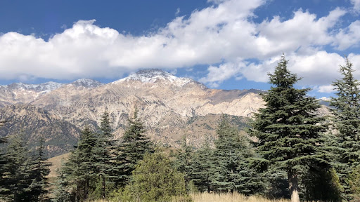
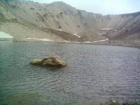
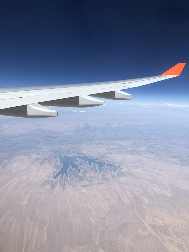
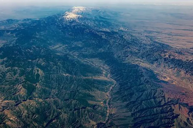
Mount Sikaram is a mountain on the Afghanistan–Pakistan border, south of the Kabul River and Khyber Pass. At 4,755 m, it is the highest peak of the Spīn Ghar, or Safēd Kōh, mountain range.
Outdoor
Adventure
Scenic
Off the beaten path
attractions: , restaurants: , local businesses:
Plan your stay

Pet-friendly Hotels in Paktia Province
Find a cozy hotel nearby and make it a full experience.

Affordable Hotels in Paktia Province
Find a cozy hotel nearby and make it a full experience.

The Coolest Hotels You Haven't Heard Of (Yet)
Find a cozy hotel nearby and make it a full experience.

Trending Stays Worth the Hype in Paktia Province
Find a cozy hotel nearby and make it a full experience.