Mount Obama things to do, attractions, restaurants, events info and trip planning
Basic Info
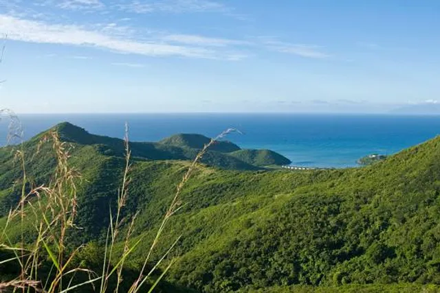
Mount Obama
Antigua & Barbuda
4.7(42)
Save
spot
spot
Ratings & Description
Info
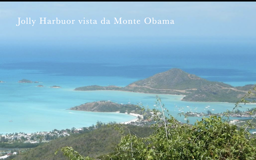
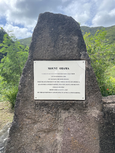
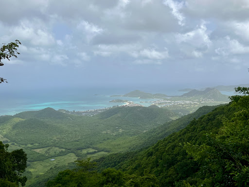
Boggy Peak, named Mount Obama from 2009 to 2016, is the highest point of the Shekerley Mountains on the island of Antigua. It lies in the southwest region of the island, and rises to a height of 402 metres.
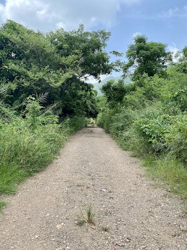
Outdoor
Adventure
Scenic
Off the beaten path
attractions: , restaurants: , local businesses:
Plan your stay

Pet-friendly Hotels in Antigua
Find a cozy hotel nearby and make it a full experience.

Affordable Hotels in Antigua
Find a cozy hotel nearby and make it a full experience.

The Coolest Hotels You Haven't Heard Of (Yet)
Find a cozy hotel nearby and make it a full experience.

Trending Stays Worth the Hype in Antigua
Find a cozy hotel nearby and make it a full experience.