Mount Sorrow things to do, attractions, restaurants, events info and trip planning
Basic Info
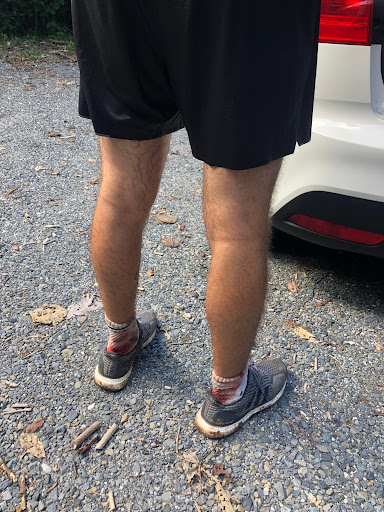
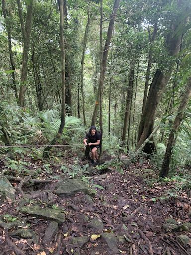
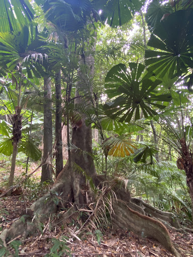
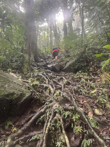
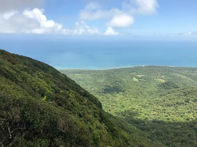
Mount Sorrow
Cape Tribulation QLD 4873, Australia
4.4(22)
Save
spot
spot
Ratings & Description
Info
Outdoor
Adventure
Scenic
Off the beaten path
attractions: , restaurants: , local businesses:
Plan your stay

Pet-friendly Hotels in Cape Tribulation
Find a cozy hotel nearby and make it a full experience.

Affordable Hotels in Cape Tribulation
Find a cozy hotel nearby and make it a full experience.

The Coolest Hotels You Haven't Heard Of (Yet)
Find a cozy hotel nearby and make it a full experience.

Trending Stays Worth the Hype in Cape Tribulation
Find a cozy hotel nearby and make it a full experience.
Reviews
Live events
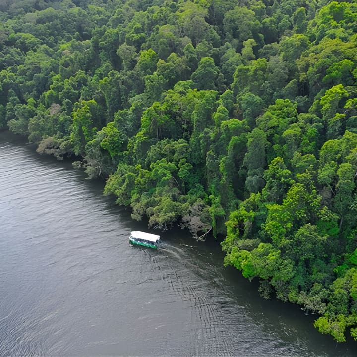
Daintree River Cruise
Fri, Feb 20 • 4:30 PM
Newington, 3350
View details
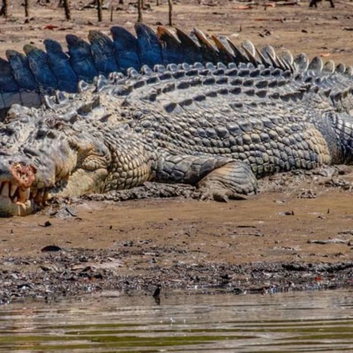
Solar Whisper Daintree River Crocodile and Wildlife Cruise
Fri, Feb 20 • 4:30 PM
Lower Daintree QLD, 4873
View details
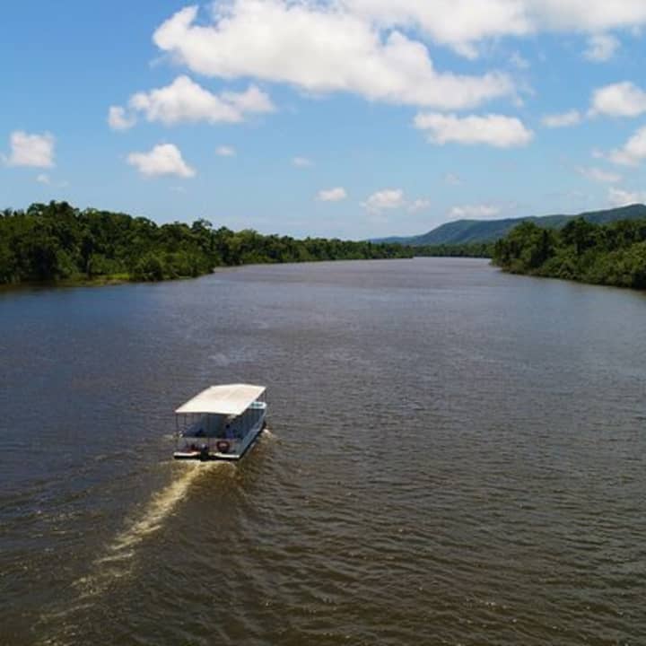
Ultimate Daintree Rainforest Wildlife Experience Cruise
Sat, Feb 21 • 10:30 AM
Lower Daintree, 4873
View details