Gibraltar Peak things to do, attractions, restaurants, events info and trip planning
Basic Info
Gibraltar Peak
Australian Capital Territory 2620, Australia
4.8(20)
Save
spot
spot
Ratings & Description
Info
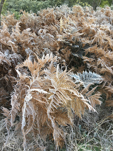
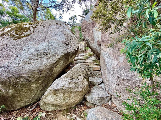
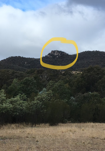
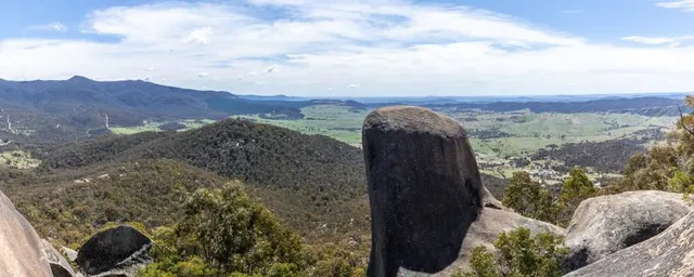
Gibraltar Peak is a mountain with an elevation of 1,038 metres AHD that is located within the Tidbinbilla Nature Reserve, approximately 26.4 kilometres from Canberra, in the Australian Capital Territory. Gibraltar Peak is the 45th highest mountain in the Australian Capital Territory.
Outdoor
Adventure
Scenic
Off the beaten path
Pet friendly
attractions: , restaurants: , local businesses:
Plan your stay

Pet-friendly Hotels in District of Paddys River
Find a cozy hotel nearby and make it a full experience.

Affordable Hotels in District of Paddys River
Find a cozy hotel nearby and make it a full experience.

The Coolest Hotels You Haven't Heard Of (Yet)
Find a cozy hotel nearby and make it a full experience.

Trending Stays Worth the Hype in District of Paddys River
Find a cozy hotel nearby and make it a full experience.
Reviews
Live events

Ghosts of Worcester: Explore the Haunted Past!
Sun, Mar 1 • 12:00 AM
78 Franklin St, 01608
View details

20 CUTS in Canberra: An Immersive Real-World Thriller Game
Sun, Mar 1 • 12:00 AM
city hill, Vernon Cir, Canberra, 2601
View details

Kid Quest in Canberra: Superhero City Adventure for Kids (Ages 4–8)
Sun, Feb 1 • 12:00 AM
Shop AG12/148 Bunda St, Canberra, 2601
View details