Quamby Bluff things to do, attractions, restaurants, events info and trip planning

Basic Info
Quamby Bluff
Golden Valley TAS 7304, Australia
5.0(17)
Save
spot
spot
Ratings & Description
Info
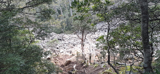
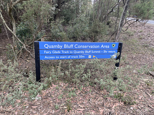
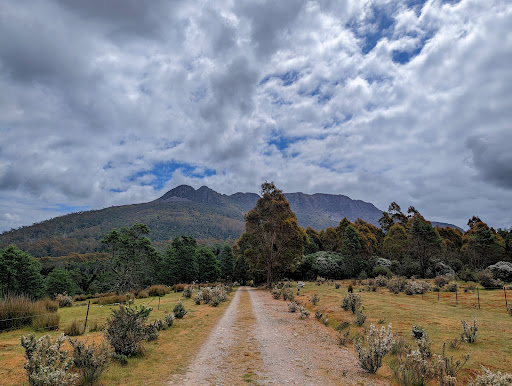
Quamby Bluff is a mountain in Northern Tasmania, Australia that is an outlying part of the Great Western Tiers mountain range.
Outdoor
Adventure
Scenic
Cultural
Off the beaten path
attractions: , restaurants: , local businesses:
Plan your stay

Pet-friendly Hotels in Golden Valley
Find a cozy hotel nearby and make it a full experience.

Affordable Hotels in Golden Valley
Find a cozy hotel nearby and make it a full experience.

The Coolest Hotels You Haven't Heard Of (Yet)
Find a cozy hotel nearby and make it a full experience.

Trending Stays Worth the Hype in Golden Valley
Find a cozy hotel nearby and make it a full experience.