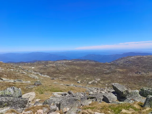
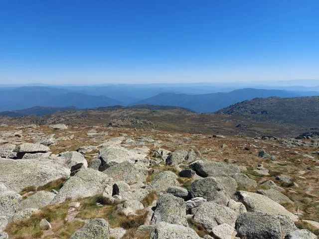
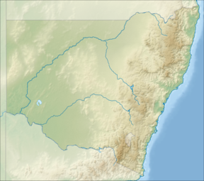
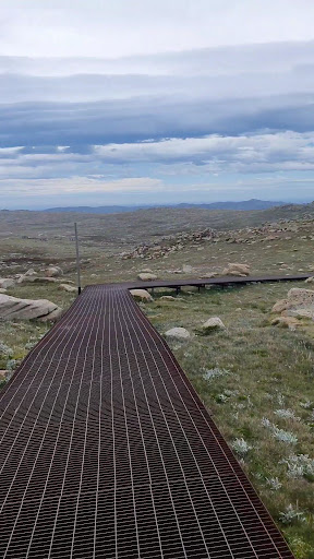
Mount Kosciuszko (/ˌkɒsiˈʌskoʊ/ KOSS-ee-US-koh, previously spelled Mount Kosciusko) is mainland Australia's highest mountain, at 2,228 metres (7,310 ft) above sea level. It is located on the Main Range of the Snowy Mountains in Kosciuszko National Park, part of the Australian Alps National Parks and Reserves, in New South Wales, Australia, and is located west of Crackenback and close to Jindabyne.The mountain was named by the Polish explorer Paweł Edmund Strzelecki in 1840, in honour of Polish-Lithuanian freedom fighter General Tadeusz Kościuszko, because of its perceived resemblance to the Kościuszko Mound in Kraków, Poland.
An exploration party led by Paul Edmund Strzelecki and James Macarthur with indigenous guides Charlie Tarra and Jackey set off on what is called Strzelecki’s Southern expedition. Macarthur was seeking new pastures. Strzelecki wanted to investigate the climate, geology, paleontology and geography of NSW and to publish his findings. This included identifying Australia’s highest summit, which Strzelecki reached on 12 March 1840. The approach was made from Geehi valley. After climbing Hannel’s Spur, the peak currently called Mt Townsend was reached. Here Strzelecki used his instruments to make observations. He noticed that the neighbouring peak was higher. In the presence of Macarthur he named the higher summit Mt Kosciusko after the famous Polish-Lithuanian military leader who died in 1817. As it was late, Macarthur decided to return to camp and Strzelecki alone climbed the Kosciuszko summit.
Based on Strzelecki’s records, Australia’s highest summit was mapped. A cartographical mistake made in an edition of Victorian maps transposed Mt Kosciusko to the position of the present Mt Townsend. Later editions of the map continued to show the original location. NSW maps did not make this mistake.
The Victorian error created confusion. In 1885, Austrian explorer Robert von Lendenfeld, guided by James M. Spencer, a local pastoralist, aided by a map containing the transposition error, reached Mt Townsend believing it was Mt Kosciusko. According to Spencer, the local Aboriginals called Mount Kosciusko Tar-gan-gil. Like Strzelecki, Lendenfeld also observed that the neighbouring peak was higher. He named it Mt Townsend to honour the surveyor who in 1846...
Read more