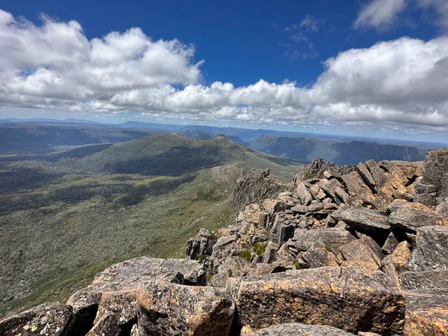
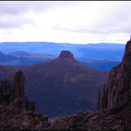
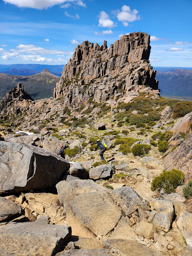
It's Highest mountain in Australian island state of Tasmania. Located in the cradle mountain-lake st. Clair National Park, Ossa is composed mainly of dolerite, as is nearby cradle Mountain.
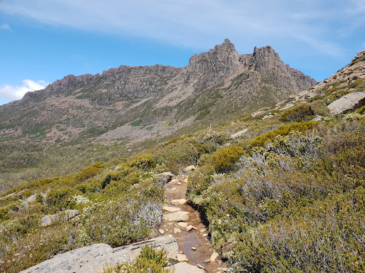
Osaa requires a 2 - 3 days to walk in nearest carpark and facilities, either at Dovve Lake in the north, or Lake St. Clair on the south . The 65 km walk between these 2 poits, known as the Overland track, also offers access to the summits of Cradle Mountain, Mt. Pelion, and numerous others.
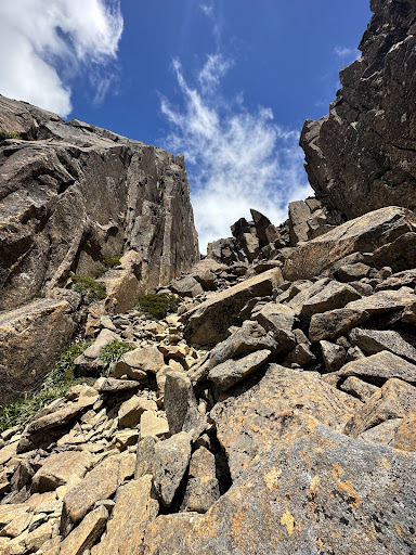
The main summit route starts and finishs at a point on the Overland Track known as pelion Gap, at 1180m elevation, and nestled between Mt. Ossa and Mt. Pelion East . The route involes mainly boulder hopping, which can be slippery when wet. Some small sections of snow may be encountered towards the top in summer, but can be easily crossed or avoided altogether. In winter , the snow can be found at lower altitudes, and more care should be taken during the scramble or climb.
📍Nearest International Airport is Melbourne and another is Hobart is an International airport, overseas routes are very limited and unlikely to be of any interest except to travellers comming from or via New Zealand 🇳🇿 Nearest domestic airport is Devonport 110km ,
Laincheston 140km and Hobart 210km.
From launcheston to take the bass highway west to deloraine. From here to take the B12, then the C132. The area is well signposted to Cradle Valley or mountain.
And you can choose some other...
Read more