Mount Bartle Frere things to do, attractions, restaurants, events info and trip planning
Basic Info
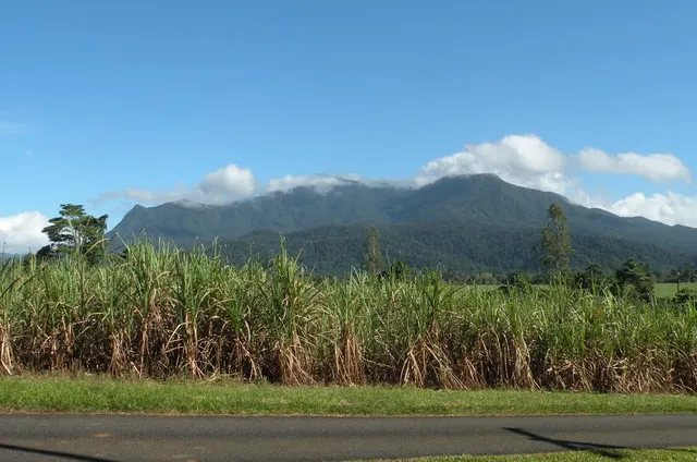
Mount Bartle Frere
Wooroonooran QLD 4860, Australia
4.8(13)
Save
spot
spot
Ratings & Description
Info
Mount Bartle Frere is the highest mountain in Queensland at an elevation of 1,611 metres. The mountain was named after Sir Henry Bartle Frere, a British colonial administrator and then president of the Royal Geographical Society by George Elphinstone Dalrymple in 1873.
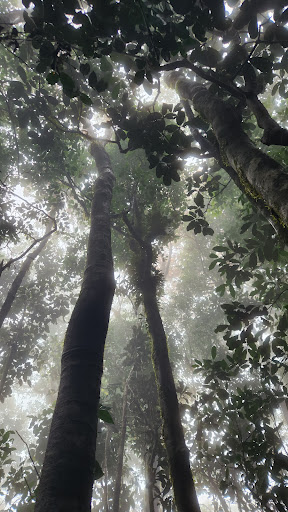
Outdoor
Adventure
Scenic
Off the beaten path
attractions: , restaurants: , local businesses:
Plan your stay

Pet-friendly Hotels in Wooroonooran
Find a cozy hotel nearby and make it a full experience.

Affordable Hotels in Wooroonooran
Find a cozy hotel nearby and make it a full experience.

The Coolest Hotels You Haven't Heard Of (Yet)
Find a cozy hotel nearby and make it a full experience.

Trending Stays Worth the Hype in Wooroonooran
Find a cozy hotel nearby and make it a full experience.