Mount Lawrence Grassi things to do, attractions, restaurants, events info and trip planning
Basic Info
Mount Lawrence Grassi
Kananaskis, AB T1W 2T5, Canada
4.8(11)
Save
spot
spot
Ratings & Description
Info
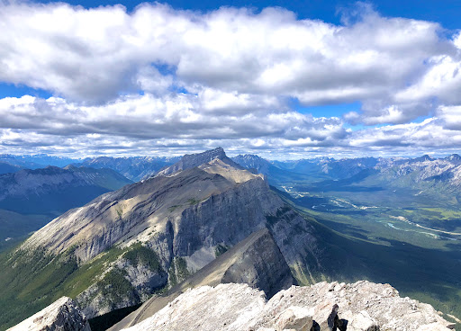
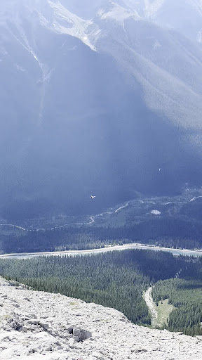
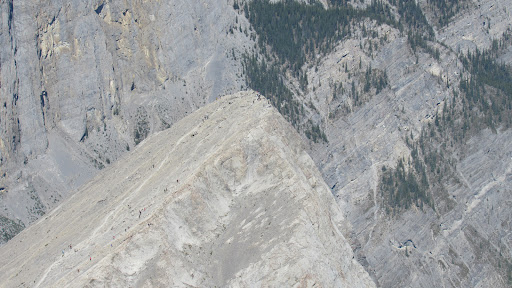
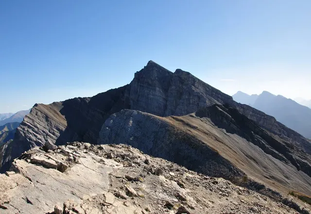
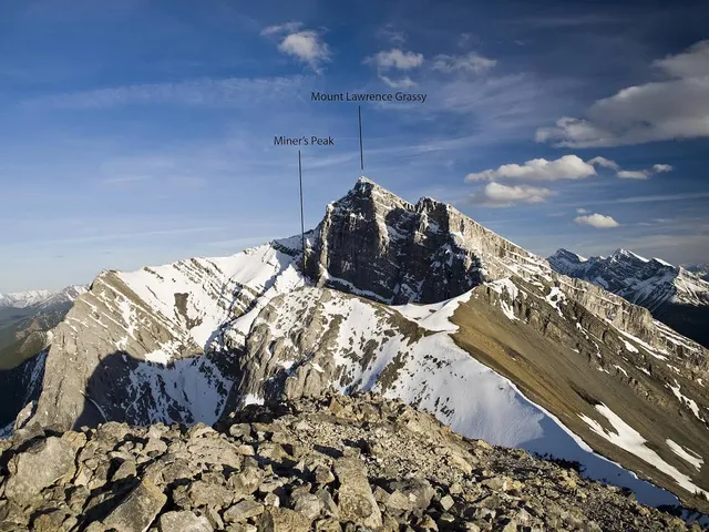
Mount Lawrence Grassi is the tallest peak of the Ehagay Nakoda massif, a multi-peaked mountain located immediately south of the town of Canmore just east of the Spray Lakes road in Alberta's Canadian Rockies.
Outdoor
Adventure
Scenic
Family friendly
attractions: , restaurants: , local businesses: Miner's Peak
Plan your stay

Pet-friendly Hotels in Alberta
Find a cozy hotel nearby and make it a full experience.

Affordable Hotels in Alberta
Find a cozy hotel nearby and make it a full experience.

The Coolest Hotels You Haven't Heard Of (Yet)
Find a cozy hotel nearby and make it a full experience.

Trending Stays Worth the Hype in Alberta
Find a cozy hotel nearby and make it a full experience.
Reviews
Live events
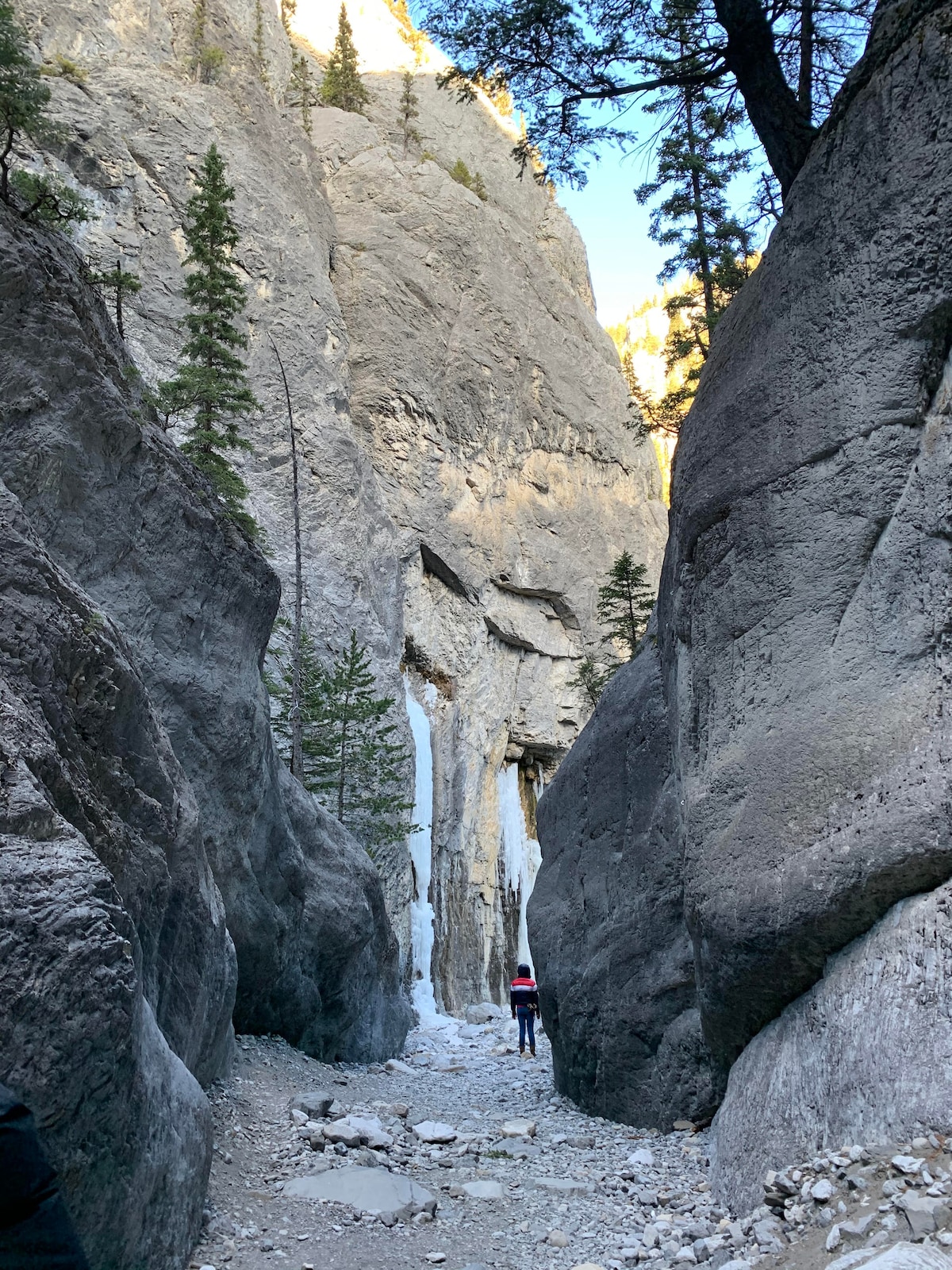
Discover canyons and ancient art
Mon, Feb 23 • 8:00 AM
Canmore, Alberta, T1W 1Y2, Canada
View details
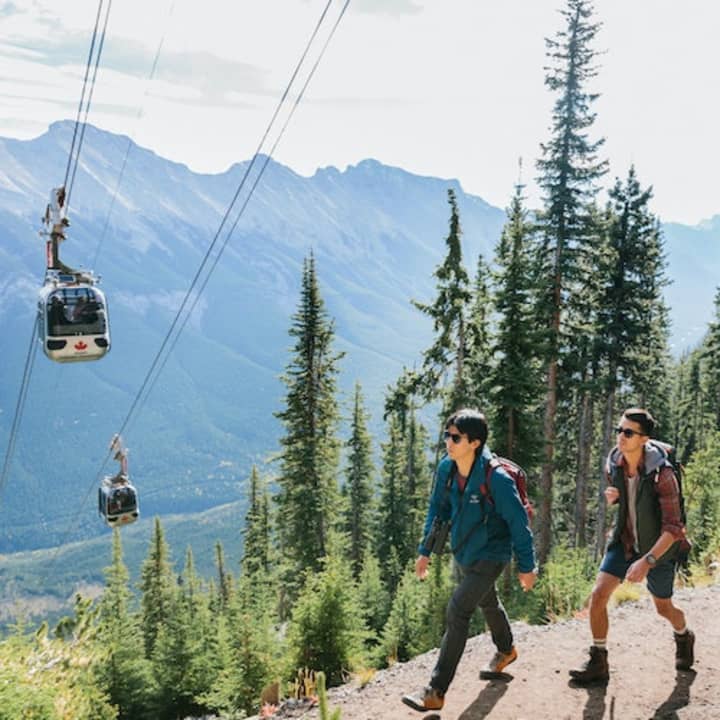
Banff Gondola on Sulphur Mountain: Entry Ticket
Sat, Feb 21 • 9:10 AM
100 Mountain Avenue, Banff, T1L 1B2
View details
Banff Nature Walk - 2hrs
Mon, Feb 23 • 2:00 PM
Banff, Alberta, T1L 1K2, Canada
View details
Nearby local services of Mount Lawrence Grassi
Miner's Peak
Miner's Peak
5.0
(8)
Click for details