Mount Benson things to do, attractions, restaurants, events info and trip planning
Basic Info
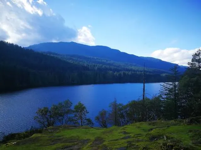
Mount Benson
Nanaimo, BC V9R 6W7, Canada
4.7(52)
Save
spot
spot
Ratings & Description
Info
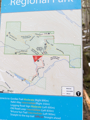
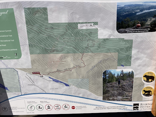
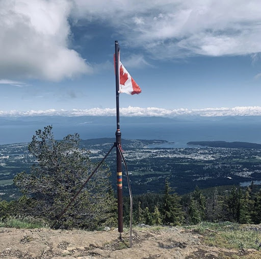
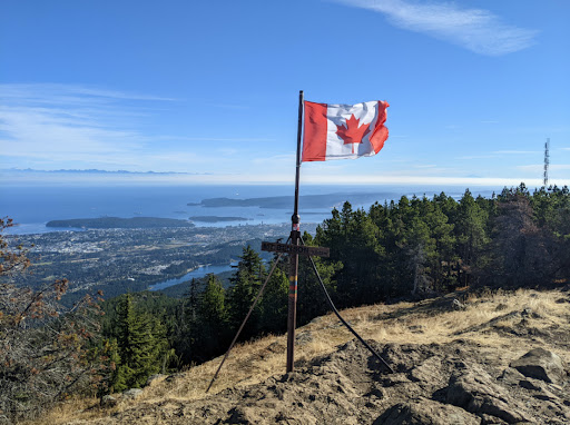
Mount Benson is a mountain located on Vancouver Island, British Columbia located 9 km west of Nanaimo. At one time, there was road access to the peak as there was a fire lookout at the summit.
Outdoor
Adventure
Scenic
Pet friendly
Off the beaten path
attractions: , restaurants: , local businesses:
Plan your stay

Pet-friendly Hotels in Area C (Arrowsmith-Benson)
Find a cozy hotel nearby and make it a full experience.

Affordable Hotels in Area C (Arrowsmith-Benson)
Find a cozy hotel nearby and make it a full experience.

The Coolest Hotels You Haven't Heard Of (Yet)
Find a cozy hotel nearby and make it a full experience.

Trending Stays Worth the Hype in Area C (Arrowsmith-Benson)
Find a cozy hotel nearby and make it a full experience.
Reviews
Live events

Candlelight: Featuring Vivaldi’s Four Seasons & More
Fri, Jan 30 • 8:30 PM
100 Chapel Street, Nanaimo, V9R 5H2
View details

Resource Management Officer Technician Introduction Course- Nanaimo
Tue, Jan 27 • 8:30 AM
100 Gordon Street, Nanaimo, BC V9R 5J8
View details

Harbour Hustle - VIU Smash Ultimate Tournament Series
Wed, Jan 28 • 5:30 PM
900 Fifth Street, Nanaimo, BC V9R 5S5
View details