Kings Peak things to do, attractions, restaurants, events info and trip planning
Basic Info
Kings Peak
Utah
4.5(82)
Save
spot
spot
Ratings & Description
Info
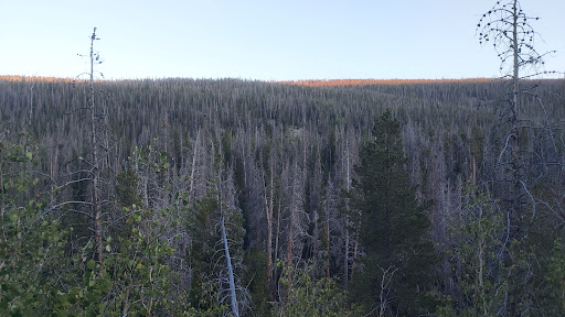
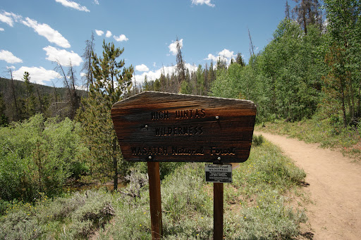
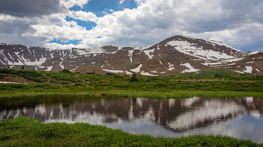
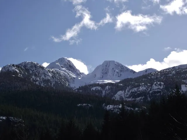
Kings Peak is the highest peak in the U.S. state of Utah, with an elevation of 13,528 feet NAVD 88.
Outdoor
Adventure
Scenic
attractions: , restaurants: , local businesses:
Plan your stay

Pet-friendly Hotels in Area D (Oyster Bay/Buttle Lake)
Find a cozy hotel nearby and make it a full experience.

Affordable Hotels in Area D (Oyster Bay/Buttle Lake)
Find a cozy hotel nearby and make it a full experience.

The Coolest Hotels You Haven't Heard Of (Yet)
Find a cozy hotel nearby and make it a full experience.

Trending Stays Worth the Hype in Area D (Oyster Bay/Buttle Lake)
Find a cozy hotel nearby and make it a full experience.