This is the perfect mountain for an entry level hiker, family outing or someone who is not in the best of shape.
If you go really slow you can make it to the top in 45 mins.
If your in good shape 20 mins.
The main trail is super well kept and extremely well marked.
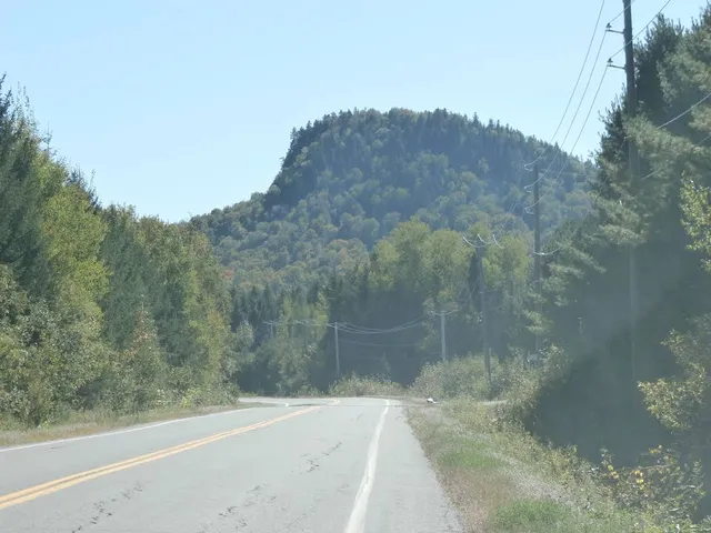
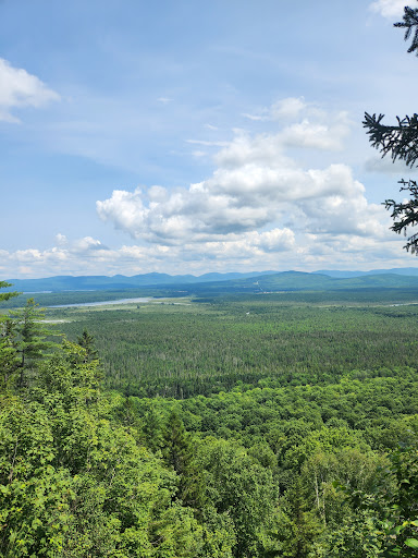
At your first lookout you can see the mountain range the rins along the American border. At the first stop there is a small information panel describing the history of the mountain which was owned by the Stearns family. It will also name the other mountains in the distance, elevation etc.
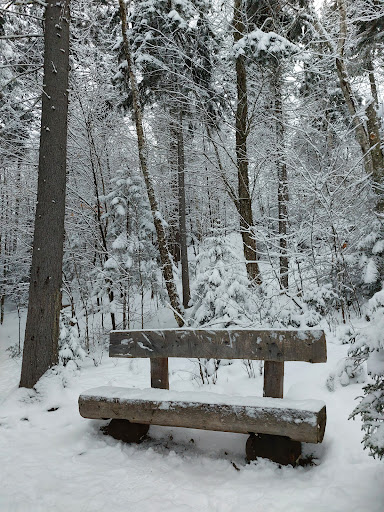
The second lookout about 2 minutes further down the path has a wonderfully carved log bench and if you look up you'll see some high tech security cameras ;) .
There is a third lookout. This trail isnt nearly as we maintained and is poorly marked compared to the first.
Luckily I had a roll of orange ribbon and tied some ribbons to follow.
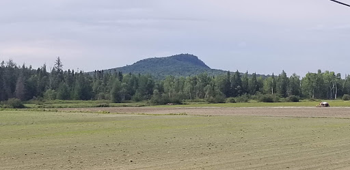
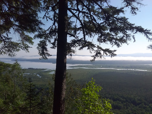
The 3rd lookout is not as impressive as the first two but you do get to see Mont megantic, mont st.joseph and Mont Gosford which I believe is the tallest mountain in the region.
Whomever started making the third lookout cut a few trees so you have more view.
I'm sure some naturalists will not be pleased by such an action.
However since the damage has been done I would suggest they finish up what they started and clean up the mess a little. Mind you it will rot in a few years time.
So this leads me to why I gave this a 4 out of 5.
Once you are at the the top it a one trail in and one trail out.
I highly suggest they continue the third lookout trail and have it loop back around to the point where you Crest the mountain.
Its relatively flat up top and the trail can easily be made to loop back around.
As you're walking you can see where there are many other places you'd have a great view . Theres...
Read more