Noijin Kangsang Peak things to do, attractions, restaurants, events info and trip planning
Basic Info
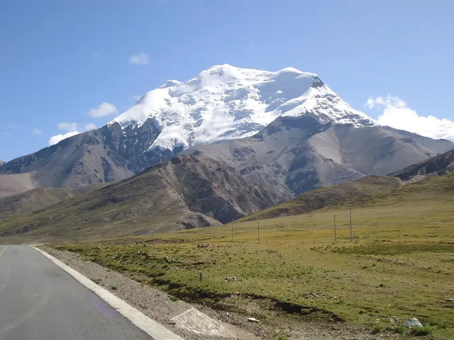
Noijin Kangsang Peak
Gyantse County, Shigatse, China, 851100
4.5(16)
Save
spot
spot
Ratings & Description
Info
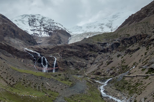
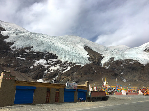
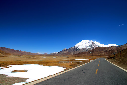
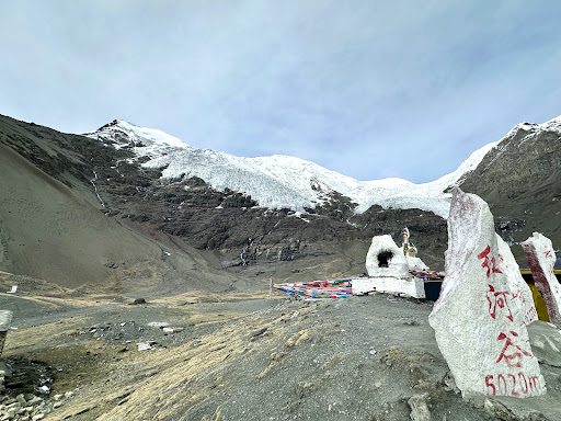
Noijin Kangsang is the highest peak of Lhagoi Kangri mountain range in the Tibet Autonomous Region in China. It lies between the Yarlung Tsangpo River, Yamdrok Lake and the Himalayas mountain range. Noijin Kangsang was first climbed via the South Face and Southwest Ridge on 28 April 1986 by a Chinese expedition.
Outdoor
Adventure
Scenic
Off the beaten path
attractions: , restaurants: , local businesses:
Plan your stay

Pet-friendly Hotels in Gyantse County
Find a cozy hotel nearby and make it a full experience.

Affordable Hotels in Gyantse County
Find a cozy hotel nearby and make it a full experience.

The Coolest Hotels You Haven't Heard Of (Yet)
Find a cozy hotel nearby and make it a full experience.

Trending Stays Worth the Hype in Gyantse County
Find a cozy hotel nearby and make it a full experience.