Slættaratindur things to do, attractions, restaurants, events info and trip planning
Basic Info
Slættaratindur
470, Faroe Islands
4.9(94)
Save
spot
spot
Ratings & Description
Info
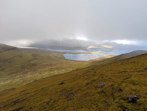
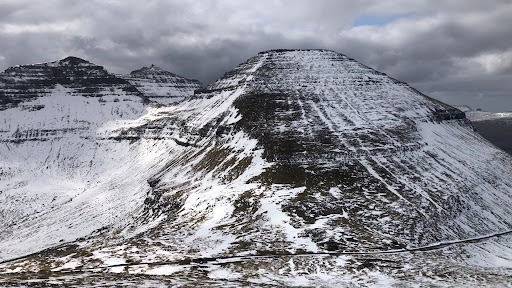
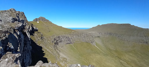
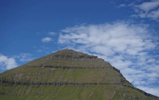
Slættaratindur is the highest mountain in the Faroe Islands, at an elevation of 880 metres. It is located in the northern part of Eysturoy, between the villages of Eiði, Gjógv, and Funningur. Funningur lies at the foot of the mountain, however, the summit is not visible from the village. Its name means "flat summit".
Outdoor
Adventure
Scenic
Off the beaten path
attractions: , restaurants: , local businesses:
Plan your stay

Pet-friendly Hotels in Funningur
Find a cozy hotel nearby and make it a full experience.

Affordable Hotels in Funningur
Find a cozy hotel nearby and make it a full experience.

The Coolest Hotels You Haven't Heard Of (Yet)
Find a cozy hotel nearby and make it a full experience.

Trending Stays Worth the Hype in Funningur
Find a cozy hotel nearby and make it a full experience.