Col Agnel things to do, attractions, restaurants, events info and trip planning
Basic Info
Col Agnel
05350 Molines-en-Queyras, France
4.9(552)
Save
spot
spot
Ratings & Description
Info
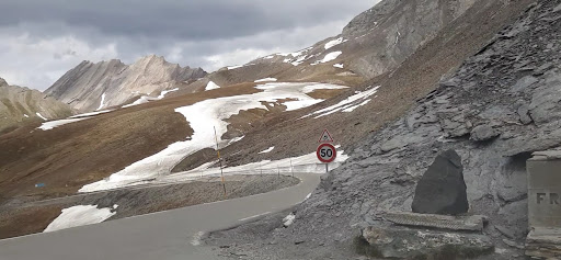
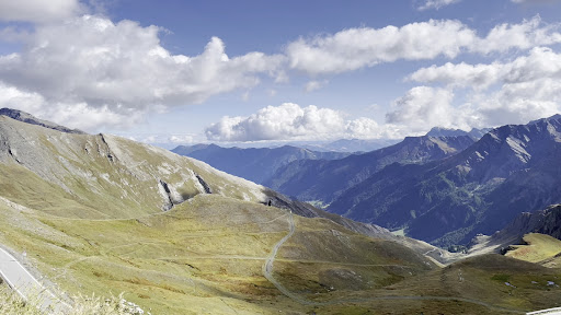
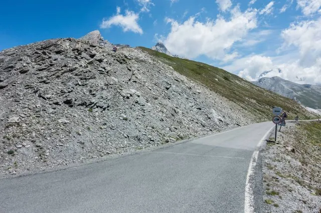
Col Agnel is a mountain pass in the Cottian Alps, west of Monte Viso between France and Italy which links the Queyras valley with Pontechianale in the province of Cuneo, Piedmont. At 2,744 m, it is the third highest paved road pass of the Alps, after Stelvio Pass and Col de l'Iseran.
Outdoor
Adventure
Scenic
Off the beaten path
attractions: , restaurants: , local businesses:
Plan your stay

Pet-friendly Hotels in Briançon
Find a cozy hotel nearby and make it a full experience.

Affordable Hotels in Briançon
Find a cozy hotel nearby and make it a full experience.

The Coolest Hotels You Haven't Heard Of (Yet)
Find a cozy hotel nearby and make it a full experience.

Trending Stays Worth the Hype in Briançon
Find a cozy hotel nearby and make it a full experience.