Pic de Médécourbe things to do, attractions, restaurants, events info and trip planning
Basic Info
Pic de Médécourbe
4.7(11)
Save
spot
spot
Ratings & Description
Info
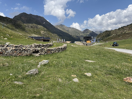
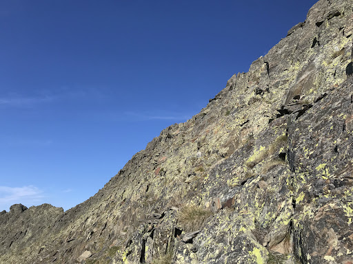
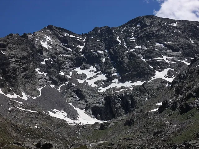
Pic de Médécourbe is a mountain in Europe that sits on the western tripoint boundary of Andorra, France and Spain. It is 2,914 metres tall. It overlooks Étang de Soulcem, a large artificial lake used for hydroelectricity, and the Vicdessos valley.
attractions: , restaurants: , local businesses:
Plan your stay

Pet-friendly Hotels in Foix
Find a cozy hotel nearby and make it a full experience.

Affordable Hotels in Foix
Find a cozy hotel nearby and make it a full experience.

The Coolest Hotels You Haven't Heard Of (Yet)
Find a cozy hotel nearby and make it a full experience.

Trending Stays Worth the Hype in Foix
Find a cozy hotel nearby and make it a full experience.
Reviews
Live events

Pilates & Olively Ritual with Alisa 🤍
Sat, Feb 21 • 9:30 AM
AD400 La Massana, Andorra
View details