Cime de la Bonette things to do, attractions, restaurants, events info and trip planning
Basic Info
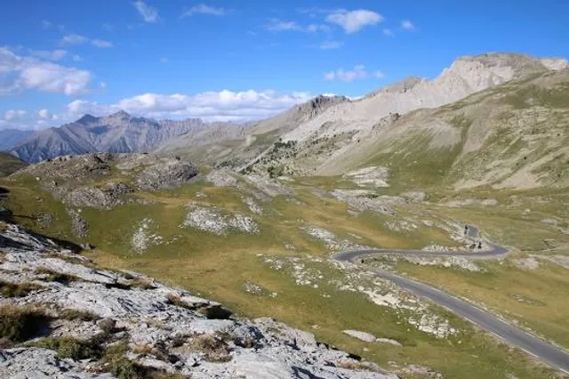
Cime de la Bonette
04850 Jausiers, France
4.9(222)
Save
spot
spot
Ratings & Description
Info
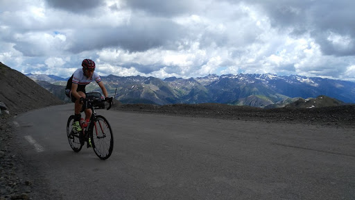
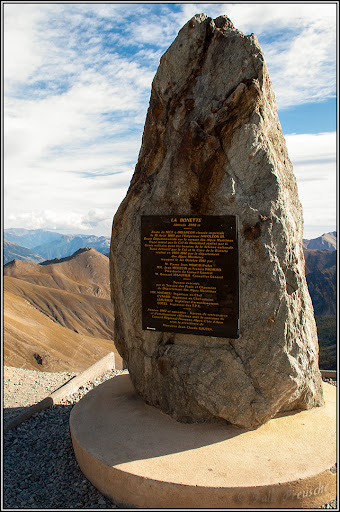
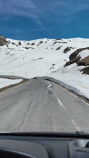
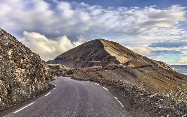
Cime de la Bonette is a mountain in the French Alps, near the border with Italy. It is situated within the Mercantour National Park on the border of the departments of Alpes-Maritimes and Alpes-de-Haute-Provence, between the Ubaye Valley and the valley of the Tinée River. "Cime" means "summit" in French.
Outdoor
Adventure
Scenic
Off the beaten path
attractions: , restaurants: , local businesses: Col de la Bonette
Plan your stay

Pet-friendly Hotels in Nice
Find a cozy hotel nearby and make it a full experience.

Affordable Hotels in Nice
Find a cozy hotel nearby and make it a full experience.

The Coolest Hotels You Haven't Heard Of (Yet)
Find a cozy hotel nearby and make it a full experience.

Trending Stays Worth the Hype in Nice
Find a cozy hotel nearby and make it a full experience.
Reviews
Nearby local services of Cime de la Bonette
Col de la Bonette
Col de la Bonette
4.9
(642)
Click for details