Hoher Fricken things to do, attractions, restaurants, events info and trip planning
Basic Info
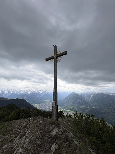
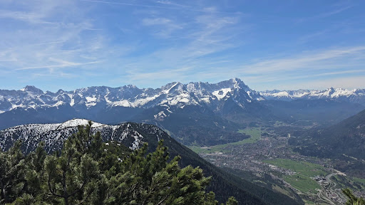
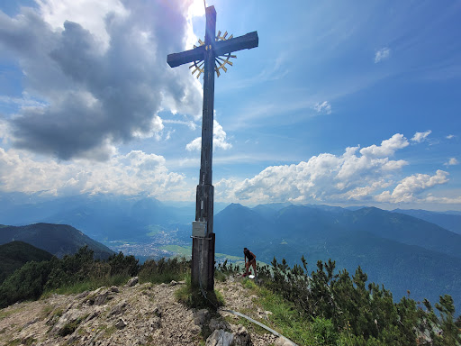
Hoher Fricken
82490 Farchant, Germany
4.8(37)
Save
spot
spot
Ratings & Description
Info
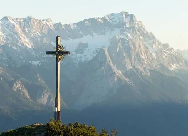
The Hoher Fricken is a mountain 1,940 m above sea level high, in the Ester Mountains in the Bavarian Prealps and lies between the Wank and the over 2000 m high Bischof. Below and to the north is the Niederer Fricken and the Fricken Cirque.
Outdoor
Adventure
Scenic
Off the beaten path
attractions: , restaurants: , local businesses:
Plan your stay

Pet-friendly Hotels in Farchant
Find a cozy hotel nearby and make it a full experience.

Affordable Hotels in Farchant
Find a cozy hotel nearby and make it a full experience.

The Coolest Hotels You Haven't Heard Of (Yet)
Find a cozy hotel nearby and make it a full experience.

Trending Stays Worth the Hype in Farchant
Find a cozy hotel nearby and make it a full experience.
Reviews
Live events

DINNER & KONZERT Lukas Sternath
Thu, Feb 12 • 6:00 PM
In Elmau 2 KONZERTSAAL 82493 Klais
View details

Pub Skitour
Thu, Feb 12 • 6:00 PM
Hausberg 4 82467 Garmisch-Partenkirchen
View details

Pettnau, Tirol: Erlebe Bubble Soccer
Fri, Feb 13 • 1:00 PM
10 Schulweg 6408 Pettnau
View details