Hochries things to do, attractions, restaurants, events info and trip planning
Basic Info
Hochries
83122 Samerberg, Germany
4.5(51)
Save
spot
spot
Ratings & Description
Info
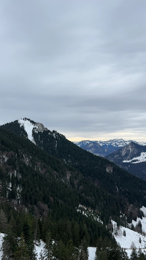
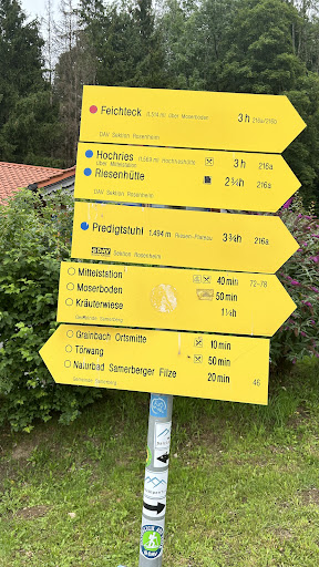
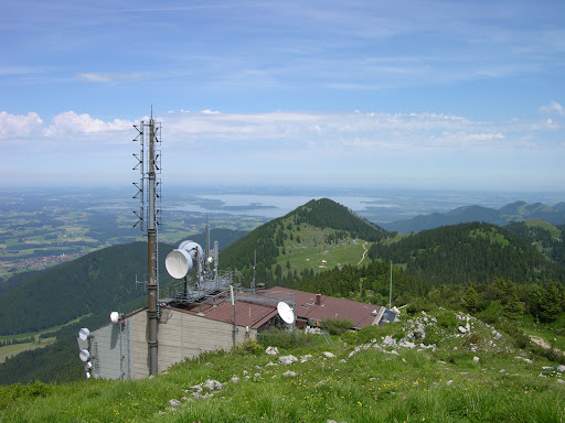
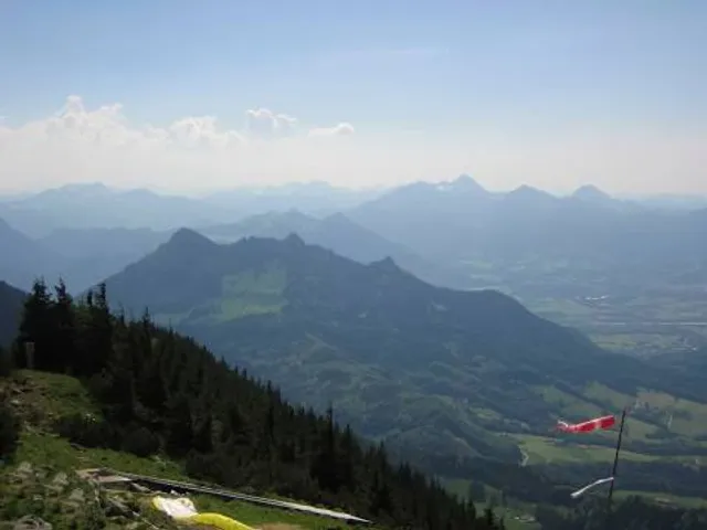
Hochries is a mountain in Bavaria, Germany. It is 1569 m high, and is located in the north-western part of the Chiemgauer Alpen. The summit can be reached by cable car from Grainbach. Starting from the village, a chairlift takes you to the middle station at 920 m above sea level.
Outdoor
Adventure
Scenic
Family friendly
attractions: , restaurants: , local businesses:
Plan your stay

Pet-friendly Hotels in Samerberg
Find a cozy hotel nearby and make it a full experience.

Affordable Hotels in Samerberg
Find a cozy hotel nearby and make it a full experience.

The Coolest Hotels You Haven't Heard Of (Yet)
Find a cozy hotel nearby and make it a full experience.

Trending Stays Worth the Hype in Samerberg
Find a cozy hotel nearby and make it a full experience.
Reviews
Live events

Snowshoeing to the Oberaudorf alpine pastures
Tue, Feb 10 • 10:00 AM
83080, Oberaudorf, Germany
View details
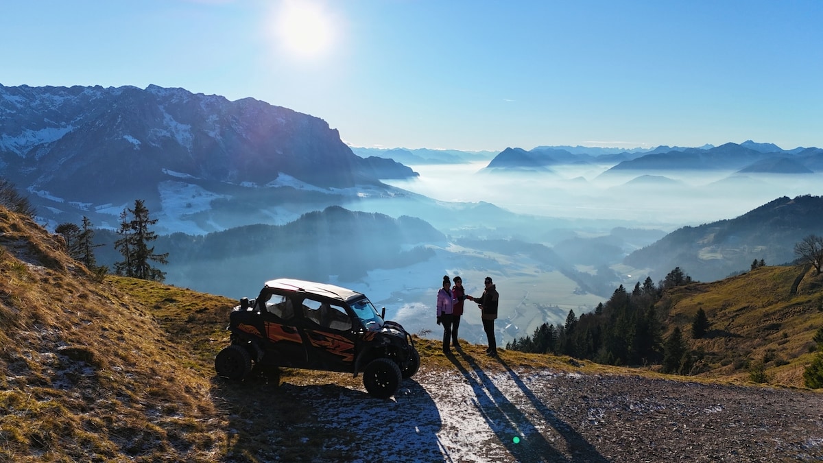
Buggy tour in the Alps with drone
Sat, Feb 14 • 12:00 PM
Zell, Tirol 6330, Austria
View details

Vormittag der Stille
Sun, Feb 15 • 7:00 AM
Alpenweg 9, 83026 Rosenheim
View details