Dirfi things to do, attractions, restaurants, events info and trip planning
Basic Info
Dirfi
Dirfis 340 14, Greece
4.8(203)
Save
spot
spot
Ratings & Description
Info
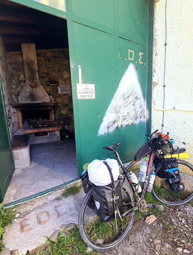
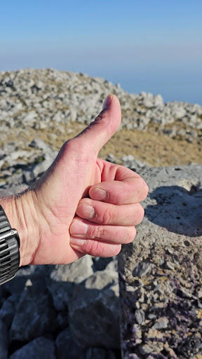
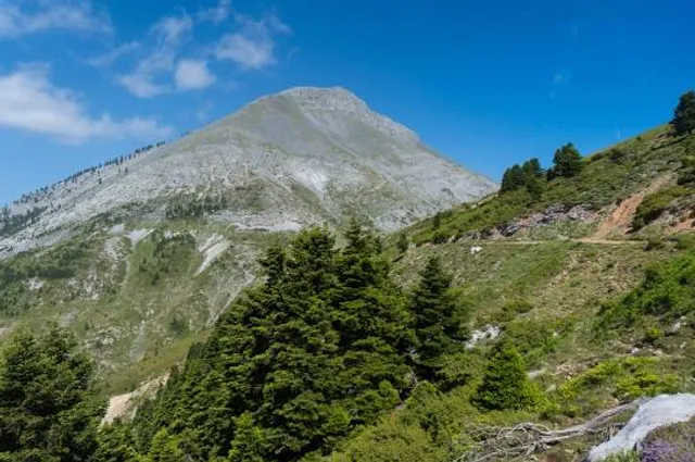
Dirfi is a mountain in the central part of the island of Euboea, Greece. At 1,743 m elevation, it is the highest mountain of Euboea. The Dirfi gave its name to the municipal unit Dirfys. Its summit is 4 km west of Stropones, 5 km north of Steni Dirfyos and 28 km northeast of the city of Chalcis.
Outdoor
Adventure
Scenic
Off the beaten path
attractions: , restaurants: , local businesses:
Plan your stay

Pet-friendly Hotels in Dirfyon - Messapion Municipality
Find a cozy hotel nearby and make it a full experience.

Affordable Hotels in Dirfyon - Messapion Municipality
Find a cozy hotel nearby and make it a full experience.

The Coolest Hotels You Haven't Heard Of (Yet)
Find a cozy hotel nearby and make it a full experience.

Trending Stays Worth the Hype in Dirfyon - Messapion Municipality
Find a cozy hotel nearby and make it a full experience.