Melintaou things to do, attractions, restaurants, events info and trip planning
Basic Info
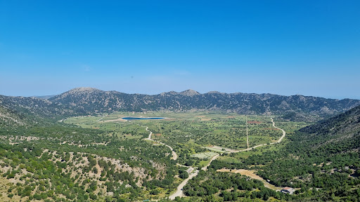
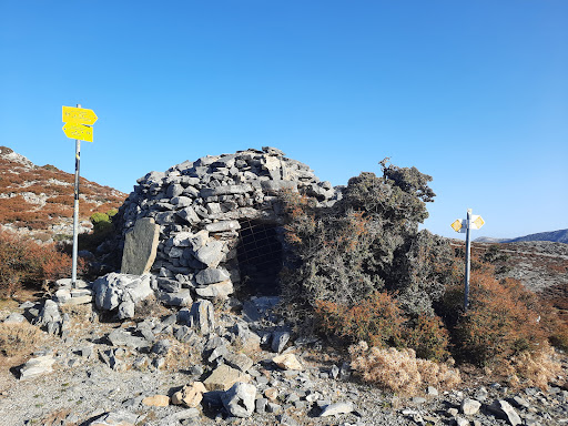
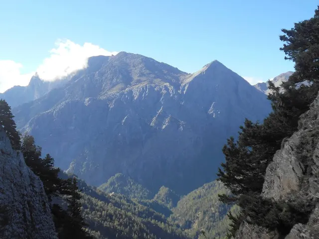
Melintaou
Sfakia 731 00, Greece
5.0(8)
Save
spot
spot
Ratings & Description
Info
Outdoor
Relaxation
Scenic
Off the beaten path
attractions: , restaurants: , local businesses:
Plan your stay

Pet-friendly Hotels in Municipality of Sfakia
Find a cozy hotel nearby and make it a full experience.

Affordable Hotels in Municipality of Sfakia
Find a cozy hotel nearby and make it a full experience.

The Coolest Hotels You Haven't Heard Of (Yet)
Find a cozy hotel nearby and make it a full experience.

Trending Stays Worth the Hype in Municipality of Sfakia
Find a cozy hotel nearby and make it a full experience.
Reviews
Live events
The Local Chania Experience
Mon, Feb 23 • 9:00 AM
731 32, Chania, Greece
View details
Goldsmith for a day
Wed, Feb 25 • 9:30 AM
730 05, Vatolakkos, Greece
View details
Chania cooking class - The Authentic
Mon, Feb 23 • 9:00 AM
731 36, Chania, Greece
View details