Kilthan Island things to do, attractions, restaurants, events info and trip planning
Basic Info
Kilthan Island
Kiltan Island, Lakshadweep
4.3(72)
Save
spot
spot
Ratings & Description
Info
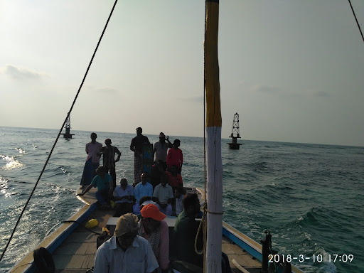
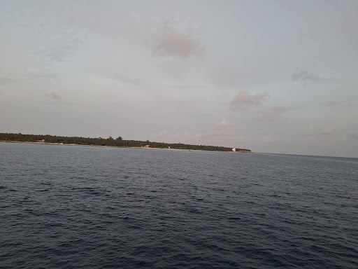
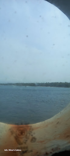
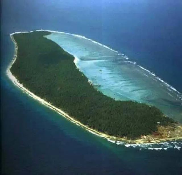
Kiltan or Kilthān Island is a coral island belonging to the Amindivi Subgroup of islands of the Union Territory of Lakshadweep in India. It is at a distance of 291 km away from Kannur, 303 km away from Kozhikode, and 394 km west of the city of Kochi.
Outdoor
Adventure
Scenic
Relaxation
Family friendly
Pet friendly
Off the beaten path
attractions: , restaurants: Ukka's Beach Restaurant, local businesses:
Plan your stay

Pet-friendly Hotels in Lakshadweep
Find a cozy hotel nearby and make it a full experience.

Affordable Hotels in Lakshadweep
Find a cozy hotel nearby and make it a full experience.

The Coolest Hotels You Haven't Heard Of (Yet)
Find a cozy hotel nearby and make it a full experience.

Trending Stays Worth the Hype in Lakshadweep
Find a cozy hotel nearby and make it a full experience.
Reviews
Nearby restaurants of Kilthan Island
Ukka's Beach Restaurant
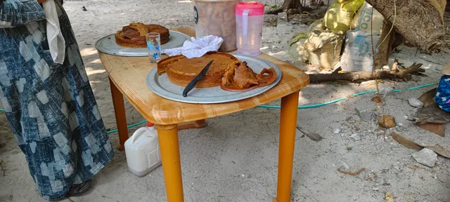
Ukka's Beach Restaurant
4.5
(34)
Closed
Click for details