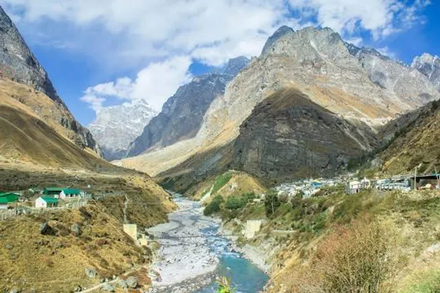
Mana Pass is a high mountain pass at an elevation of 5.610m (18,406ft) above the sea level, located in the Himalayas on the border between India and China. It’s one of the highest vehicle-accessible passes in the world.
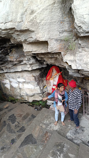
The pass, also known as Māna La, Chirbitya, Chirbitya-la, or Dungri La, connects India (the state of Uttarakhand) and Tibet, within the Nanda Devi Biosphere Reserve of the Zanskar mountain range in the Uttarakhand. Mana Pass led from Badrinath and the source of the Saraswati River along with the Deotal Lake. It’s one of the highest mountain roads of the country.
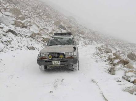
The road to the pass is a well-graded gravel-dirt road constructed in the 2005-2010 period for the Indian military by the Border Roads Organisation. Great trail for experienced wheelers. Avoid driving in this area if unpaved mountain roads aren't your strong point. 4x4 required. Stay away if you're scared of heights. Expect a trail pretty steep. Wet conditions may make for tough driving along the muddy road. Do not take this drive if you have respiratory problems or any type of heart condition. Notorius lack of oxygen that tests the organisms and a high degree of steepness. Most people feel altitude sickness at around 2,500-2,800 meters. Extremely low oxygen for engine combustion. A major hazard of altitude is the sickness that can indiscriminately affect anyone regardless of age or fitness. The summit has about 40% less oxygen than at sea level, thus breathing is more difficult. Your pulse rate will increase and movement will be more laborious at the summit. The high elevation with its risk of altitude sickness, weather concerns, steep road grade, and overall inaccessibility make the pass dangerous and summit trips difficult.
Watch out for sudden loose-gravel breaks. The pass is reached from the south by an extension of National Highway 58 (NH58) that connects Delhi with Badrinath, though beyond Badrinath the graded road is subject to landslides. The road can ripple like a roller coaster track in places where “frost heaves” are caused by seasonal freezing and thawing of the ground. The surface on this gravel road is often loose, especially along the sides of the road. There are some asphalted sections along the way. The road is higher on the Indian side than the new road on the Tibetan side, and rises to 5,610 metres (18,406 ft) on the Indian side of the border, 250m west of the low point of the 5,545 metres (18,192...
Read more