HTML SitemapExplore

Mount Rantekombola โ€” Local services in South Sulawesi

Name
Mount Rantekombola
Description
Rantekombola is a mountain located in the province of South Sulawesi, Sulawesi, Indonesia. Some sources claim it is the highest mountain of the island. Other sources state Mount Rantemario located nearby is the highest point.
Nearby attractions
Nearby restaurants
Nearby local services
Nearby hotels
Related posts
Keywords
Mount Rantekombola tourism.Mount Rantekombola hotels.Mount Rantekombola bed and breakfast. flights to Mount Rantekombola.Mount Rantekombola attractions.Mount Rantekombola restaurants.Mount Rantekombola local services.Mount Rantekombola travel.Mount Rantekombola travel guide.Mount Rantekombola travel blog.Mount Rantekombola pictures.Mount Rantekombola photos.Mount Rantekombola travel tips.Mount Rantekombola maps.Mount Rantekombola things to do.
Mount Rantekombola things to do, attractions, restaurants, events info and trip planning
Mount Rantekombola
IndonesiaSouth SulawesiMount Rantekombola

Basic Info

Mount Rantekombola

Uluwai, Mengkendek, Tana Toraja Regency, South Sulawesi, Indonesia
4.7(19)
Save
spot

Ratings & Description

Info

Rantekombola is a mountain located in the province of South Sulawesi, Sulawesi, Indonesia. Some sources claim it is the highest mountain of the island. Other sources state Mount Rantemario located nearby is the highest point.

Outdoor
Adventure
Scenic
Off the beaten path
attractions: , restaurants: , local businesses:
logoLearn more insights from Wanderboat AI.

Plan your stay

hotel
Pet-friendly Hotels in South Sulawesi
Find a cozy hotel nearby and make it a full experience.
hotel
Affordable Hotels in South Sulawesi
Find a cozy hotel nearby and make it a full experience.
hotel
The Coolest Hotels You Haven't Heard Of (Yet)
Find a cozy hotel nearby and make it a full experience.
hotel
Trending Stays Worth the Hype in South Sulawesi
Find a cozy hotel nearby and make it a full experience.

Reviews

Get the Appoverlay
Get the AppOne tap to find yournext favorite spots!
Wanderboat LogoWanderboat

Your everyday Al companion for getaway ideas

CompanyAbout Us
InformationAI Trip PlannerSitemap
SocialXInstagramTiktokLinkedin
LegalTerms of ServicePrivacy Policy

Get the app

ยฉ 2025 Wanderboat. All rights reserved.

Posts

hotel
Find your stay

Pet-friendly Hotels in South Sulawesi

Find a cozy hotel nearby and make it a full experience.

hotel
Find your stay

Affordable Hotels in South Sulawesi

Find a cozy hotel nearby and make it a full experience.

Get the Appoverlay
Get the AppOne tap to find yournext favorite spots!
hotel
Find your stay

The Coolest Hotels You Haven't Heard Of (Yet)

Find a cozy hotel nearby and make it a full experience.

hotel
Find your stay

Trending Stays Worth the Hype in South Sulawesi

Find a cozy hotel nearby and make it a full experience.

create-post
Own the spotlight post first!
Create

Reviews of Mount Rantekombola

4.7
(19)
avatar
5.0
5y

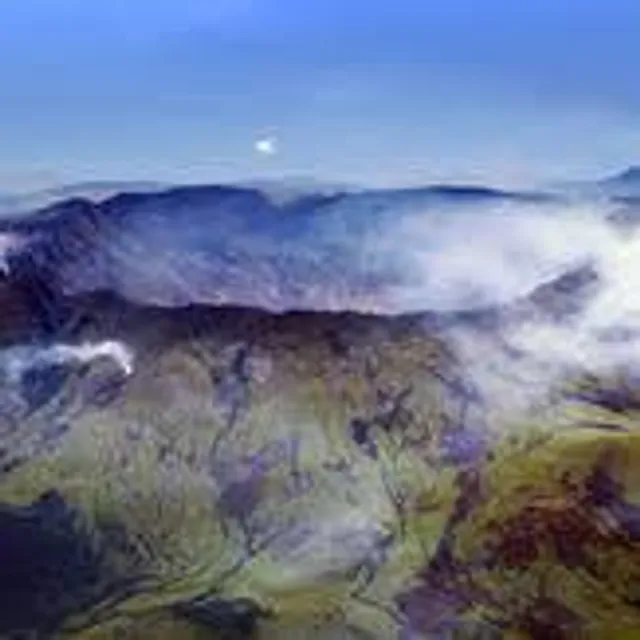
Mt. Rantekombola 3455 mdpl Gunung Rantekambola Latimojong 3455 mdpl atau setara dengan 11335 kaki, salah satu puncak tertinggi dari sekitar 12 puncak pegunungan latimojong. Puncaknya terdapat sebuah batu yang di susun oleh pendaki yang di merupakan tanda titik tertinggi pada puncak ini, durasi waktu untuk mendaki gunung ini sekitar 5-7 hari, jalurnya bisa dari Kec. Mingkendek, Kab. Tanah Toraja, bisa juga dari Kec. Baraka, Kab. Enrekang, dan bisa juga dari Ranteballa Kec. Latimojong, Kab. Luwu. Jalur menuju ke gunung ini agak susah karna melewati punggungan yang sangat dingin karna di atas ketinggian 3000 mdpl lebih dan masih jarang nya orang yang pernah ke puncak ini.

Berikut adalah beberapa Gunung di Pegunungan Latimojong Puncak yang Membujur dari Barat ke Timur yaitu:

Gunung Pantealoan 2.500 mdpl Gunung Pokapinjang 2.970 mdpl

Puncak yang melintang dari Utara ke Selatan adalah:

Gunung Sinaji 2.430 mdpl Gunung Lapande 2.457 mdpl Gunung Sikolong 2.754 mdpl Gunung Rante Kambola 3.083 mdpl Gunung Rantemario 3.473 mdpl Gunung Nenemori 3.397 mdpl Gunung Bajaja 2.706 mdpl Gunung Latimojong 3305 mdpl

Rute Pendakian : Jalur akses yang umum dipakai adalah dari kecamatan Baraka, Baraka ini bisa dicapai dari arah Makassar atau Tana Toraja dengan menumpang bis dan turun di Cakke. Kemudian dilanjutkan dengan menumpang angkutan lokal ke Baraka. Baraka โ€“ Karangan Dari Baraka ke Karangan bisa ditempuh dengan mobil sejenis Hartop atau Truk Angkutan ini hanya ada pada hari pasar Baraka yaitu hari Senin dan Kamis. Angkutan lain adalah Ojek dan kita akan diantar langsung ke Karangan hanya saja cukup, sebelum tiba di Karangan ada akan melewati beberapa desa atau dusun ( Karuaja, Agin-agin Rante Lemo dll) Dusun Karangan โ€“ Pos 1 Jalur trekking dari Karangan menuju pos 1 dimulai dengan mengikuti aliran sungai Salu Karangan kemudian menyeberangi sebuah jembatan batang pohon dan menanjak naik dengan kemiringan 50-70 derajat. Keadaan jalur hingga ke Pos 1 ini banyak sekali jalan bercabangnya, yang merupakan jalur pemburu dan penebang kayu. Pos 1 ini bernama Buntu Kaciling dan berada diketinggian 1800m d.p.l dan merupakan sebuah areal terbuka seukuran 4 meter persegi disini tidak ada...

ย ย ย Read more
avatar
5.0
7y

Was here at 1996, what a magnificent journey, 10 days trip full of adventure, tremendous view. Once a lifetime experience. Tuhan bersama orang2...

ย ย ย Read more
avatar
5.0
4y

Sejuk, tenang, damai, adem, namun sedikit sulit untuk mendapatkan air

Tempat yang nyaman dan...

ย ย ย Read more
Page 1 of 3
Previous
Next