Gamalama things to do, attractions, restaurants, events info and trip planning
Basic Info
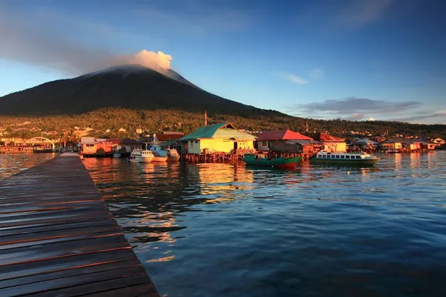
Gamalama
Hutan Lindung, Ternate City, North Maluku, Indonesia
4.4(170)
Save
spot
spot
Ratings & Description
Info
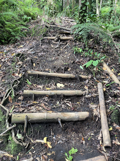
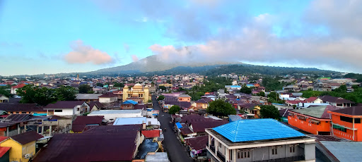
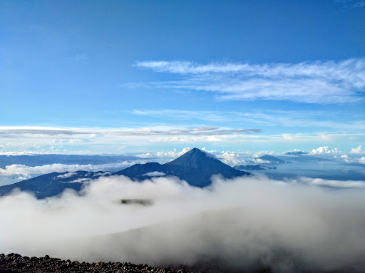
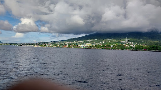
Gamalama is a near-conical stratovolcano that comprises the entire Ternate island in Indonesia. The island lies off the western shore of Halmahera island in the north of the Maluku Islands.
Outdoor
Adventure
Scenic
Off the beaten path
attractions: Puncak Gunung Gamalama, restaurants: , local businesses:
Plan your stay

Pet-friendly Hotels in Ternate
Find a cozy hotel nearby and make it a full experience.

Affordable Hotels in Ternate
Find a cozy hotel nearby and make it a full experience.

The Coolest Hotels You Haven't Heard Of (Yet)
Find a cozy hotel nearby and make it a full experience.

Trending Stays Worth the Hype in Ternate
Find a cozy hotel nearby and make it a full experience.
Reviews
Nearby attractions of Gamalama
Puncak Gunung Gamalama

Puncak Gunung Gamalama
4.8
(10)
Open 24 hours
Click for details