Moylussa things to do, attractions, restaurants, events info and trip planning
Basic Info
Moylussa
Coumnagun, Co. Clare, Ireland
4.8(38)
Save
spot
spot
Ratings & Description
Info
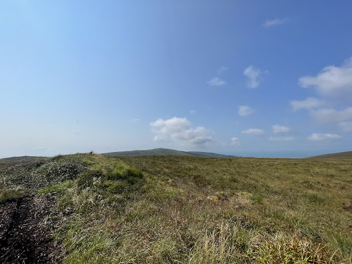
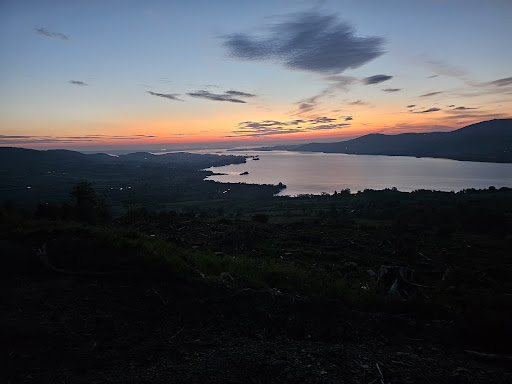
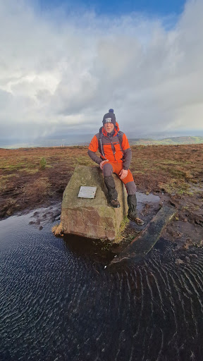
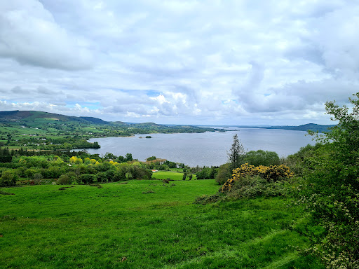
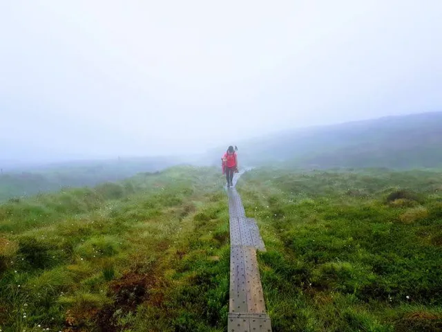
Moylussa is a mountain in the Slieve Bernagh range in western Ireland, and the highest point in County Clare at 532 metres.
Outdoor
Adventure
Scenic
Off the beaten path
attractions: , restaurants: , local businesses:
Plan your stay

Pet-friendly Hotels in County Clare
Find a cozy hotel nearby and make it a full experience.

Affordable Hotels in County Clare
Find a cozy hotel nearby and make it a full experience.

The Coolest Hotels You Haven't Heard Of (Yet)
Find a cozy hotel nearby and make it a full experience.

Trending Stays Worth the Hype in County Clare
Find a cozy hotel nearby and make it a full experience.
Reviews
Live events

Limerick Outdoor Exploration Game
Sun, Feb 1 • 12:00 AM
503 Harvey's Quay, Prior's-Land, V94 KHD6
View details
Dingle Peninsula Day Tour from Limerick: Including The Wild Altanic Way
Mon, Feb 23 • 8:00 AM
Limerick
View details
Skip the Line: Bunratty Castle and Folk Park Admission Ticket
Mon, Feb 23 • 9:00 AM
Bunratty East, Bunratty, Co. Clare,, Ireland
View details