Benbulbin things to do, attractions, restaurants, events info and trip planning

Basic Info
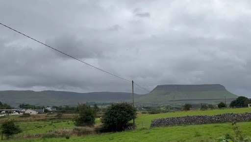
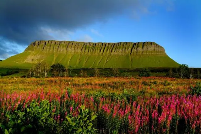
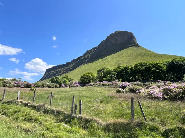
Benbulbin
Cloyragh, Co. Sligo, Ireland
4.8(255)
Save
spot
spot
Ratings & Description
Info
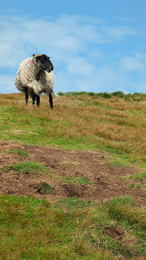
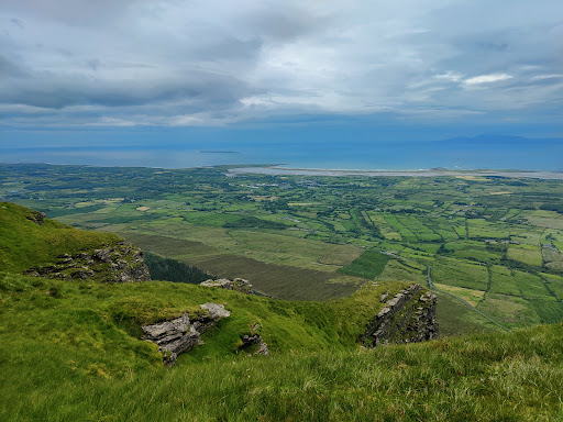
Benbulbin, sometimes Benbulben or Ben Bulben, is a large flat-topped nunatak rock formation in County Sligo, Ireland. It is part of the Dartry Mountains, in an area sometimes called "Yeats Country". Benbulbin is a protected site, designated as a County Geological Site by Sligo County Council.
Outdoor
Adventure
Scenic
Family friendly
Off the beaten path
attractions: Luke's Bridge (start of Benbulben walk), restaurants: , local businesses: Benbulbin
Plan your stay

Pet-friendly Hotels in County Sligo
Find a cozy hotel nearby and make it a full experience.

Affordable Hotels in County Sligo
Find a cozy hotel nearby and make it a full experience.

The Coolest Hotels You Haven't Heard Of (Yet)
Find a cozy hotel nearby and make it a full experience.

Trending Stays Worth the Hype in County Sligo
Find a cozy hotel nearby and make it a full experience.
Reviews
Nearby attractions of Benbulbin
Luke's Bridge (start of Benbulben walk)
Luke's Bridge (start of Benbulben walk)
4.6
(242)
Open 24 hours
Click for details
Nearby local services of Benbulbin
Benbulbin
Benbulbin
4.9
(26)
Click for details