Arderin things to do, attractions, restaurants, events info and trip planning
Basic Info
Arderin
Glenkitt, Co. Laois, Ireland
4.5(12)
Save
spot
spot
Ratings & Description
Info
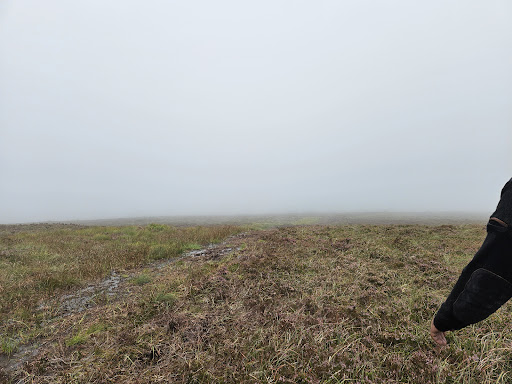
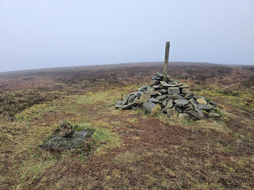
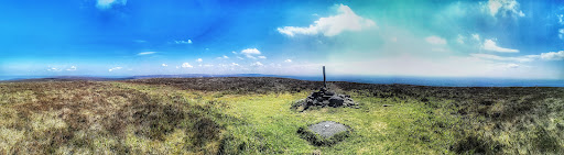
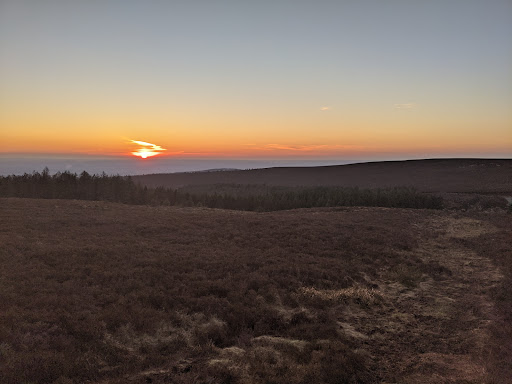
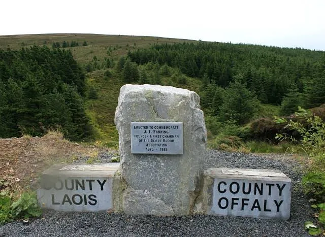
Arderin is a mountain on the border between Laois and Offaly in Ireland. With a height of 527 metres it is the highest point in the Slieve Bloom Mountains, and is the highest point in both County Laois and County Offaly.
Outdoor
Adventure
Scenic
Off the beaten path
Pet friendly
attractions: , restaurants: , local businesses:
Plan your stay

Pet-friendly Hotels in The Municipal District of Birr
Find a cozy hotel nearby and make it a full experience.

Affordable Hotels in The Municipal District of Birr
Find a cozy hotel nearby and make it a full experience.

The Coolest Hotels You Haven't Heard Of (Yet)
Find a cozy hotel nearby and make it a full experience.

Trending Stays Worth the Hype in The Municipal District of Birr
Find a cozy hotel nearby and make it a full experience.
Reviews
Live events

Dublin Food on Foot Tour
Mon, Feb 9 • 11:00 AM
Church Road, Tullamore, -
View details