Monte Muta things to do, attractions, restaurants, events info and trip planning
Basic Info
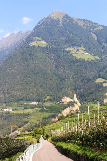
Monte Muta
39022 Algund, Autonomous Province of Bolzano – South Tyrol, Italy
5.0(10)
Save
spot
spot
Ratings & Description
Info
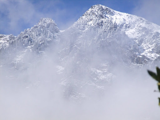
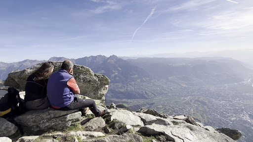
Outdoor
Adventure
Scenic
Pet friendly
Off the beaten path
attractions: , restaurants: , local businesses: Sentiero delle rocce di Velloi
Plan your stay

Pet-friendly Hotels in Burggrafenamt - Burgraviato
Find a cozy hotel nearby and make it a full experience.

Affordable Hotels in Burggrafenamt - Burgraviato
Find a cozy hotel nearby and make it a full experience.

The Coolest Hotels You Haven't Heard Of (Yet)
Find a cozy hotel nearby and make it a full experience.

Trending Stays Worth the Hype in Burggrafenamt - Burgraviato
Find a cozy hotel nearby and make it a full experience.
Reviews
Live events
Bozen Food Tour with a Local - Full Meal
Thu, Jan 29 • 11:00 AM
39100, Bolzano, Trentino-South Tyrol, Italy
View details

Effetto Haydn - Live Radio Broadcast
Sat, Jan 31 • 5:00 PM
40 Piazza Giuseppe Verdi 39100 Bolzano
View details

MENNEKES Performance Meeting
Thu, Jan 29 • 2:30 PM
Via Scuderie, 39012 Merano
View details
Nearby local services of Monte Muta
Sentiero delle rocce di Velloi
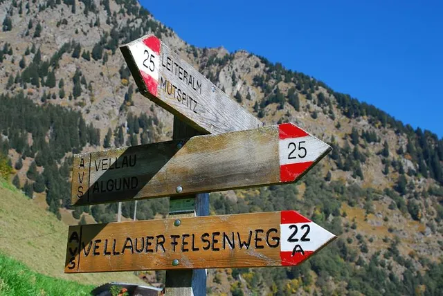
Sentiero delle rocce di Velloi
4.9
(72)
Click for details