Matajur things to do, attractions, restaurants, events info and trip planning
Basic Info
Matajur
33040 Savogna, Province of Udine, Italy
4.7(270)
Save
spot
spot
Ratings & Description
Info
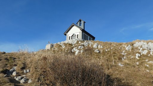
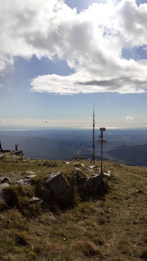
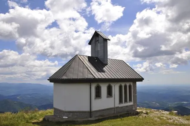
Matajur is a 1,642-meter mountain in the Julian Alps on the border between Italy and Slovenia. It is located on the border between the Soča Valley and the Italian mountainous region known as Venetian Slovenia, with views over the Adriatic Sea. Its prominence is 1,385 meters.
Outdoor
Adventure
Scenic
Off the beaten path
attractions: , restaurants: , local businesses:
Plan your stay

Pet-friendly Hotels in Pulfero
Find a cozy hotel nearby and make it a full experience.

Affordable Hotels in Pulfero
Find a cozy hotel nearby and make it a full experience.

The Coolest Hotels You Haven't Heard Of (Yet)
Find a cozy hotel nearby and make it a full experience.

Trending Stays Worth the Hype in Pulfero
Find a cozy hotel nearby and make it a full experience.
Reviews
Live events

Corso Revit Avanzato a Udine – Formazione BIM Oriented
Wed, Feb 25 • 5:00 PM
67 Via Giuseppe Bernardino Bison 33100 Udine
View details

PUMP TRAINING - prenota gratis, paga in palestra
Wed, Feb 25 • 7:00 PM
6 Via Viola 33100 Udine
View details

Workshop sul film etnografico con Fabio Gemo
Fri, Feb 27 • 2:30 PM
via Roma 33010 Resia
View details