Monte Pisanino things to do, attractions, restaurants, events info and trip planning
Basic Info
Monte Pisanino
55034 Minucciano, Province of Lucca, Italy
4.6(26)
Save
spot
spot
Ratings & Description
Info
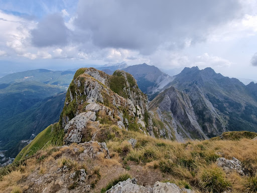
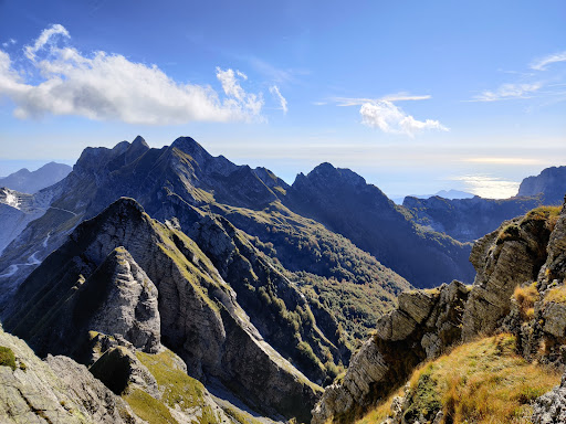
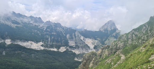
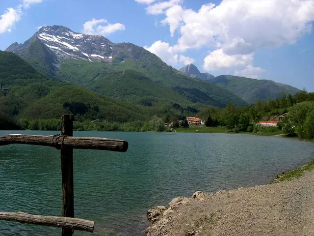
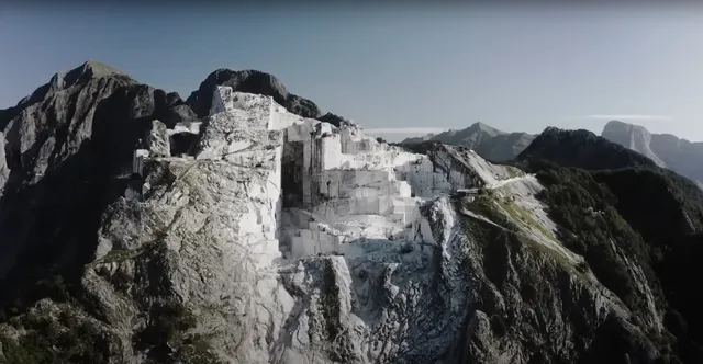
Monte Pisanino is the highest peak in the Alpi Apuane, in Tuscany, central Italy. Located in the comune of Minucciano, it is also the highest mountain entirely belonging to the Tuscany region.
Outdoor
Adventure
Scenic
Pet friendly
attractions: , restaurants: , local businesses: Apuan Alps, Val Serenaia
Plan your stay

Pet-friendly Hotels in Unione Comuni Garfagnana
Find a cozy hotel nearby and make it a full experience.

Affordable Hotels in Unione Comuni Garfagnana
Find a cozy hotel nearby and make it a full experience.

The Coolest Hotels You Haven't Heard Of (Yet)
Find a cozy hotel nearby and make it a full experience.

Trending Stays Worth the Hype in Unione Comuni Garfagnana
Find a cozy hotel nearby and make it a full experience.
Reviews
Live events
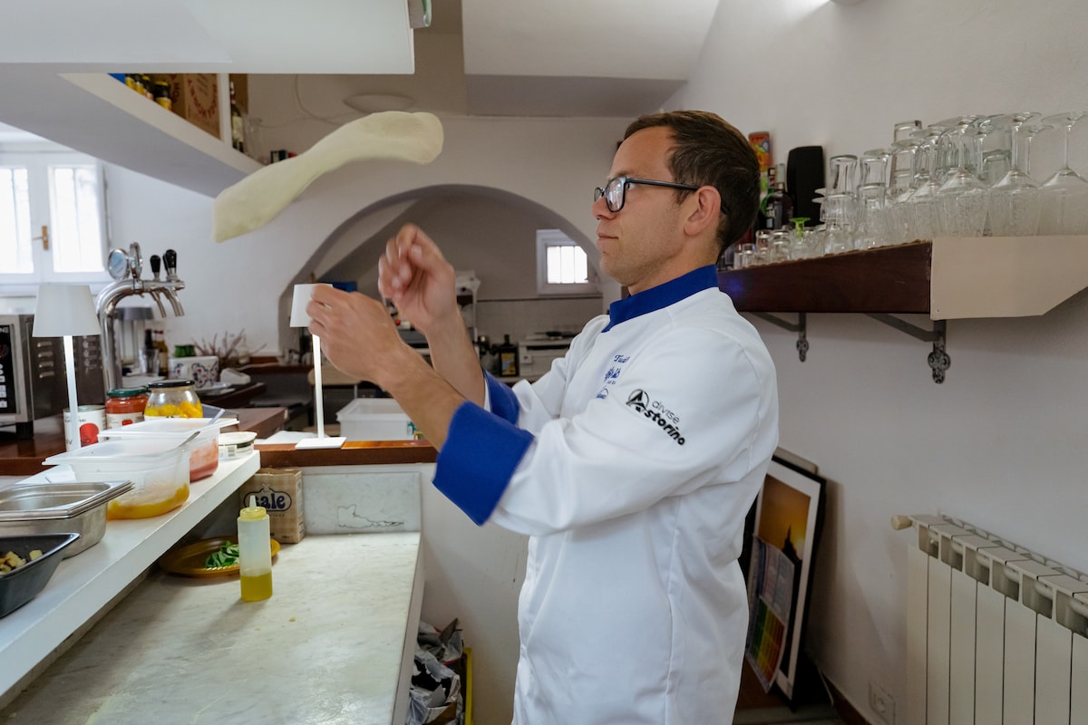
Create your own authentic Neapolitan pizza
Mon, Feb 23 • 7:00 PM
54011, Albiano Magra, Toscana, Italy
View details
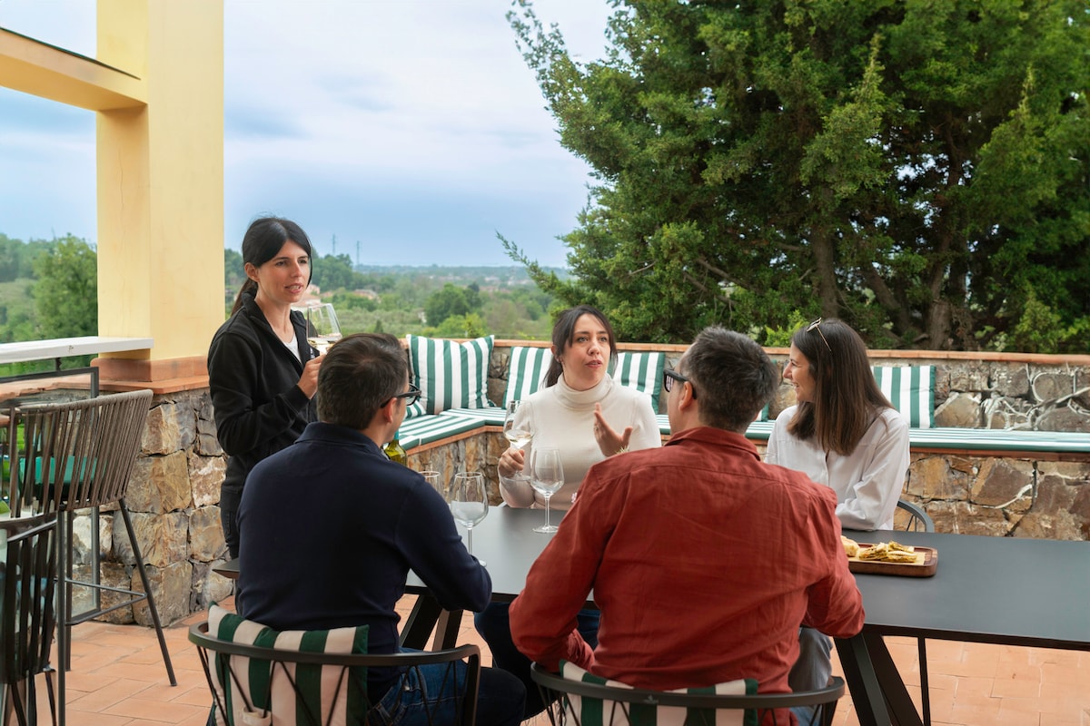
Wine tasting in the Luni Hills
Mon, Feb 23 • 11:30 AM
19033, Castelnuovo Magra, Liguria, Italy
View details
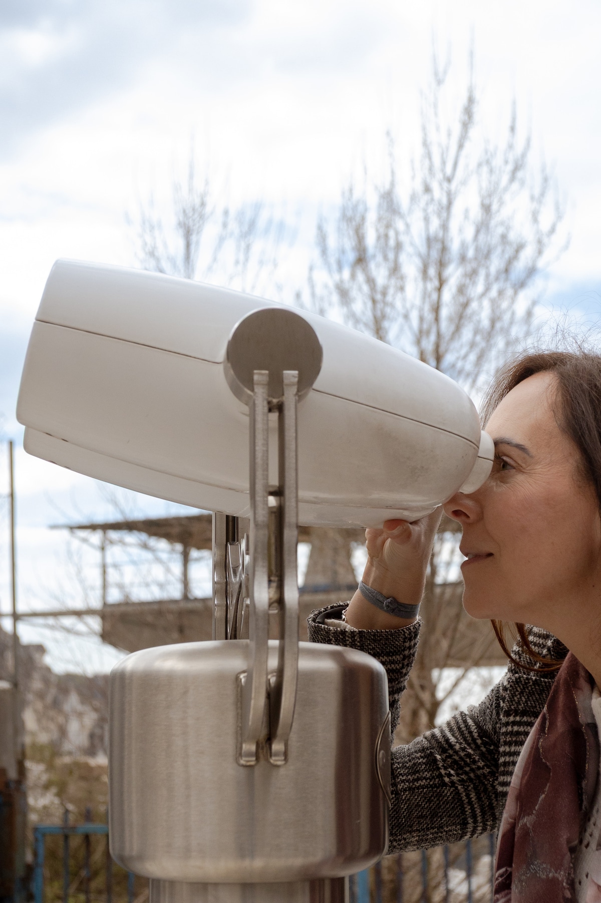
Carrara Marble Tour: Quarry, Museum, Food Tasting
Mon, Feb 23 • 10:00 AM
54033, Miseglia, Toscana, Italy
View details
Nearby local services of Monte Pisanino
Apuan Alps
Val Serenaia
Apuan Alps
4.7
(71)
Click for details
Val Serenaia
4.7
(19)
Click for details