Mount Sobo things to do, attractions, restaurants, events info and trip planning
Basic Info
Mount Sobo
Ogatamachi Obirakozan, Bungoono, Oita 879-6865, Japan
4.4(98)
Save
spot
spot
Ratings & Description
Info
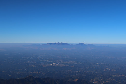
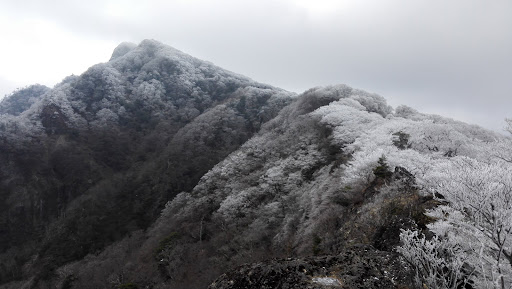
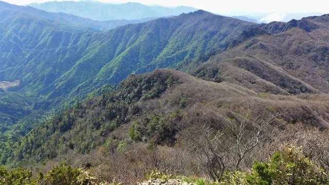
Mount Sobo is one of the 100 Famous Japanese Mountains. The 1,756-metre-high mountain lies on the border of Taketa and Bungo-ōno in Ōita Prefecture and Takachiho, Nishiusuki District in Miyazaki Prefecture. It is within the Sobo, Katamuki and Okue Biosphere Reserve.
Outdoor
Adventure
Scenic
Off the beaten path
attractions: , restaurants: , local businesses:
Plan your stay

Pet-friendly Hotels in Bungo-Ono
Find a cozy hotel nearby and make it a full experience.

Affordable Hotels in Bungo-Ono
Find a cozy hotel nearby and make it a full experience.

The Coolest Hotels You Haven't Heard Of (Yet)
Find a cozy hotel nearby and make it a full experience.

Trending Stays Worth the Hype in Bungo-Ono
Find a cozy hotel nearby and make it a full experience.