Mount Sefuri things to do, attractions, restaurants, events info and trip planning
Basic Info
Mount Sefuri
Itaya, Sawara Ward, Fukuoka, 811-1113, Japan
4.5(117)
Save
spot
spot
Ratings & Description
Info
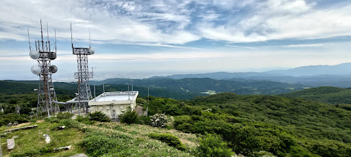
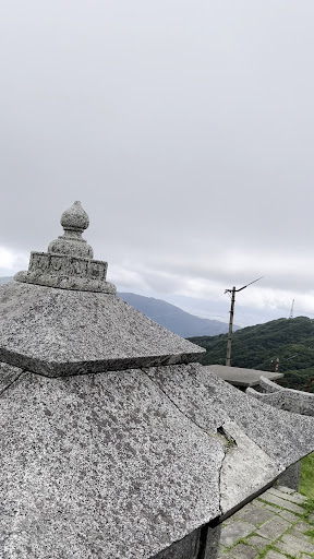
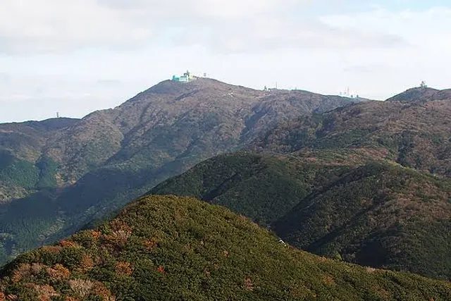
Mount Sefuri is a 1,054.6 m peak of the Sefuri Mountains, which are located on the border of Fukuoka, Fukuoka Prefecture, and Kanzaki, Saga Prefecture, Japan.
Outdoor
Adventure
Scenic
Off the beaten path
Pet friendly
attractions: , restaurants: , local businesses:
Plan your stay

Pet-friendly Hotels in Fukuoka
Find a cozy hotel nearby and make it a full experience.

Affordable Hotels in Fukuoka
Find a cozy hotel nearby and make it a full experience.

The Coolest Hotels You Haven't Heard Of (Yet)
Find a cozy hotel nearby and make it a full experience.

Trending Stays Worth the Hype in Fukuoka
Find a cozy hotel nearby and make it a full experience.
Reviews
Live events

Discover Fukuokas hidden nightlife
Tue, Feb 24 • 7:00 PM
810-0001, Fukuoka, Fukuoka, Japan
View details

Cook with a Japanese chef
Sun, Mar 1 • 10:30 AM
810-0022, Fukuoka, Fukuoka, Japan
View details
Mysterious Temples of Hakata
Thu, Feb 26 • 10:00 AM
812-0039, Fukuoka, Fukuoka, Japan
View details