Mount Iwate things to do, attractions, restaurants, events info and trip planning
Basic Info
Mount Iwate
Matsuoyoriki, Hachimantai, Iwate 028-7302, Japan
4.6(219)
Save
spot
spot
Ratings & Description
Info
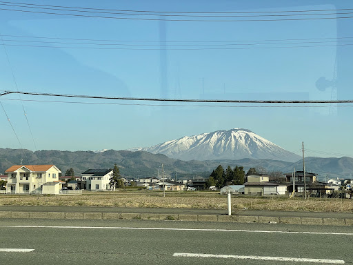
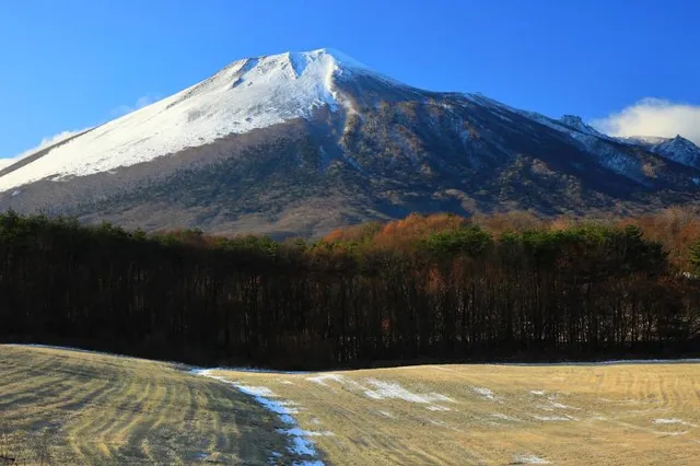
Mount Iwate is a stratovolcano complex in the Ōu Mountains of western Iwate Prefecture, in the Tōhoku region of northern Honshū, Japan. With an elevation of 2,038 metres, it is the highest in Iwate Prefecture.
"outdoor"
"adventure"
"scenic"
attractions: , restaurants: , local businesses:
Plan your stay

Pet-friendly Hotels in Hachimantai
Find a cozy hotel nearby and make it a full experience.

Affordable Hotels in Hachimantai
Find a cozy hotel nearby and make it a full experience.

The Coolest Hotels You Haven't Heard Of (Yet)
Find a cozy hotel nearby and make it a full experience.

Trending Stays Worth the Hype in Hachimantai
Find a cozy hotel nearby and make it a full experience.
Reviews
Live events
Experience in the morning Sake tasting & brewery tour
Tue, Feb 24 • 9:00 AM
020-0828, Iwate, Morioka, Japan
View details