Kaimondake volcano things to do, attractions, restaurants, events info and trip planning
Basic Info
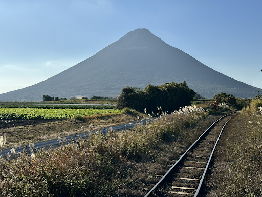
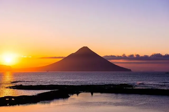
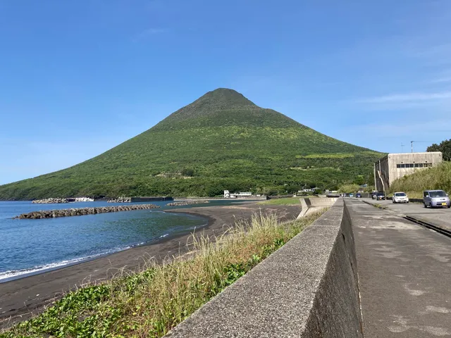
Kaimondake volcano
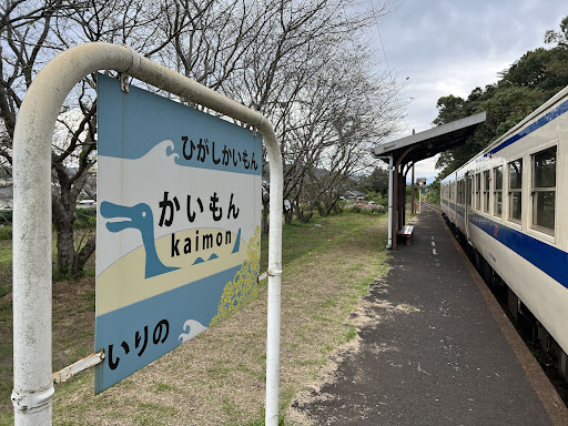
Kaimonjutcho, Ibusuki, Kagoshima 891-0603, Japan
4.6(359)
Save
spot
spot
Ratings & Description
Info
Kaimondake, or Mount Kaimon, is an undissected volcano – consisting of a basal stratovolcano and a small complex central lava dome – which rises to a height of 924 metres above sea level near the city of Ibusuki in southern Kyūshū, Japan. The last eruption occurred in the year 885 CE.
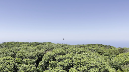
Outdoor
Adventure
Scenic
Off the beaten path
attractions: , restaurants: , local businesses: Mt. Kaimon
Plan your stay

Pet-friendly Hotels in Ibusuki
Find a cozy hotel nearby and make it a full experience.

Affordable Hotels in Ibusuki
Find a cozy hotel nearby and make it a full experience.

The Coolest Hotels You Haven't Heard Of (Yet)
Find a cozy hotel nearby and make it a full experience.

Trending Stays Worth the Hype in Ibusuki
Find a cozy hotel nearby and make it a full experience.
Reviews
Nearby local services of Kaimondake volcano
Mt. Kaimon
Mt. Kaimon
4.5
(149)
Click for details