Mount Bandai things to do, attractions, restaurants, events info and trip planning
Basic Info
Mount Bandai
Bandaisan, Inawashiro, Yama District, Fukushima 969-3100, Japan
4.5(315)
Save
spot
spot
Ratings & Description
Info
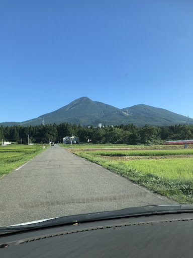
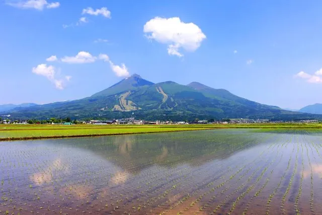
Mount Bandai is a stratovolcano located in Inawashiro-town, Bandai-town, and Kitashiobara village, in Yama-Gun, Fukushima prefecture. It is an active stratovolcano located to the north of Lake Inawashiro. Mount Bandai, including the Bandai heights, belongs to the Bandai-Asahi National Park.
Outdoor
Adventure
Scenic
Family friendly
attractions: , restaurants: , local businesses:
Plan your stay

Pet-friendly Hotels in Inawashiro
Find a cozy hotel nearby and make it a full experience.

Affordable Hotels in Inawashiro
Find a cozy hotel nearby and make it a full experience.

The Coolest Hotels You Haven't Heard Of (Yet)
Find a cozy hotel nearby and make it a full experience.

Trending Stays Worth the Hype in Inawashiro
Find a cozy hotel nearby and make it a full experience.
Reviews
Live events
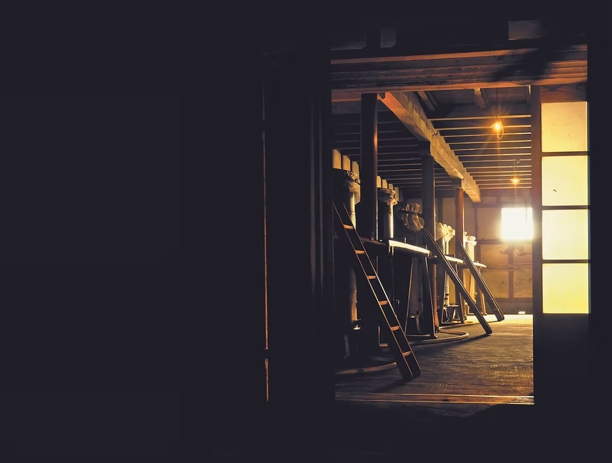
Experience at Okunomatsu Sake Brewery Sake tasting & brewery tour
Mon, Feb 16 • 9:00 AM
964-0866, Fukushima, Nihommatsu, Japan
View details

Experience at Toyokuni Sake Brewery Sake tasting & brewery tour
Mon, Feb 16 • 9:00 AM
969-6536, Fukushima, Aizubange, Kawanuma District, Japan
View details