Mt. Amakazari things to do, attractions, restaurants, events info and trip planning
Basic Info
Mt. Amakazari
Kajiyama, Itoigawa, Niigata 949-0544, Japan
4.5(101)
Save
spot
spot
Ratings & Description
Info
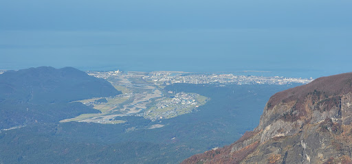
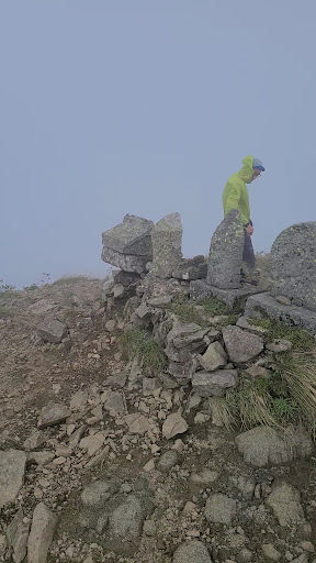
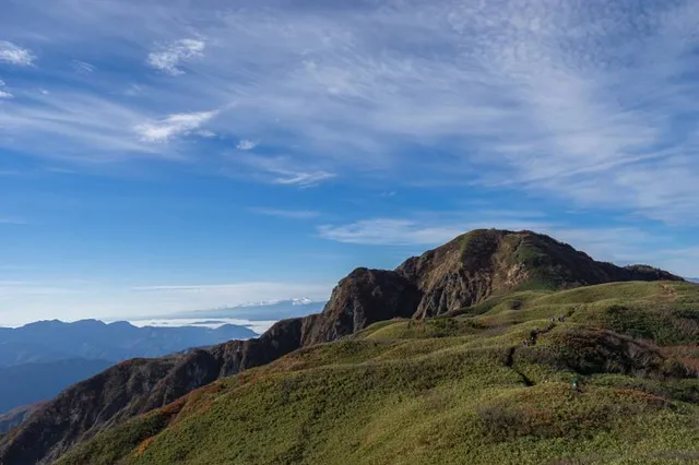
Mount Amakazari is a mountain in the Chūbu region, Central Honshu, Japan. Located between Niigata and Nagano prefectures, the mountain is considered one of the 100 Mountains of Japan. Several hiking paths lead up the mountain, along which can be found a number of natural hot springs.
Outdoor
Adventure
Scenic
Off the beaten path
attractions: , restaurants: , local businesses:
Plan your stay

Pet-friendly Hotels in Itoigawa
Find a cozy hotel nearby and make it a full experience.

Affordable Hotels in Itoigawa
Find a cozy hotel nearby and make it a full experience.

The Coolest Hotels You Haven't Heard Of (Yet)
Find a cozy hotel nearby and make it a full experience.

Trending Stays Worth the Hype in Itoigawa
Find a cozy hotel nearby and make it a full experience.
Reviews
Live events

Calligraphy Experience in Hakuba
Tue, Feb 17 • 2:00 PM
399-9301, Nagano, Hakuba, Kitaazumi District, Japan
View details