Mount Nantai things to do, attractions, restaurants, events info and trip planning
Basic Info
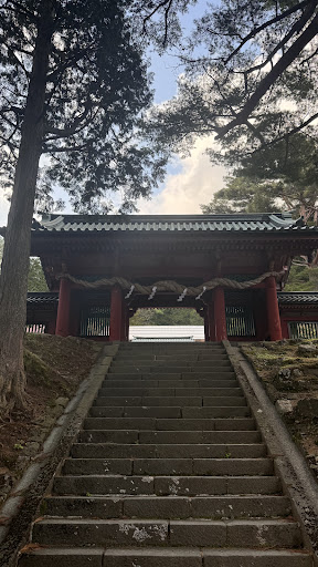
Mount Nantai
Chugushi, Nikko, Tochigi 321-1661, Japan
4.6(328)
Save
spot
spot
Ratings & Description
Info
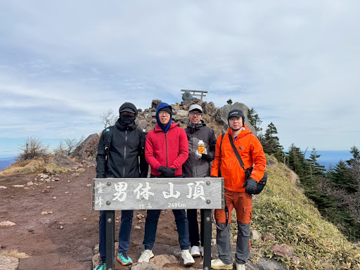
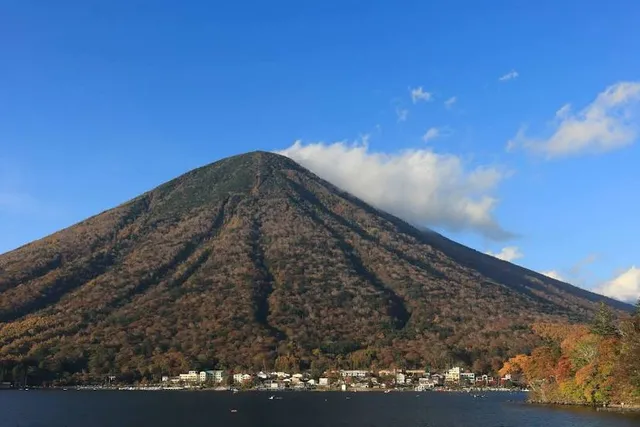
Mount Nantai is a stratovolcano in the Nikkō National Park in Tochigi Prefecture, in central Honshū, the main island of Japan. The mountain is 2,486 metres high. A prominent landmark, it can be seen on clear days from as far as Saitama, a city 100 km away.
Outdoor
Adventure
Scenic
Off the beaten path
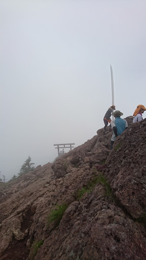
attractions: , restaurants: , local businesses: 二荒山大神 御神剣(大剣), Nantaisan Okumiya, 二荒山大神像
Plan your stay

Pet-friendly Hotels in Nikko
Find a cozy hotel nearby and make it a full experience.

Affordable Hotels in Nikko
Find a cozy hotel nearby and make it a full experience.

The Coolest Hotels You Haven't Heard Of (Yet)
Find a cozy hotel nearby and make it a full experience.

Trending Stays Worth the Hype in Nikko
Find a cozy hotel nearby and make it a full experience.
Reviews
Nearby local services of Mount Nantai
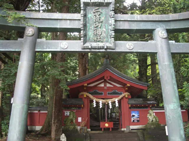
二荒山大神 御神剣(大剣)
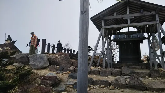
Nantaisan Okumiya
二荒山大神像
二荒山大神 御神剣(大剣)
4.6
(23)
Click for details
Nantaisan Okumiya
4.5
(54)
Click for details
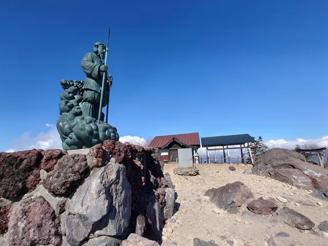
二荒山大神像
4.2
(12)
Click for details