Mount Funagata things to do, attractions, restaurants, events info and trip planning
Basic Info
Mount Funagata
Tsuruko, Obanazawa, Yamagata 999-4443, Japan
4.4(40)
Save
spot
spot
Ratings & Description
Info
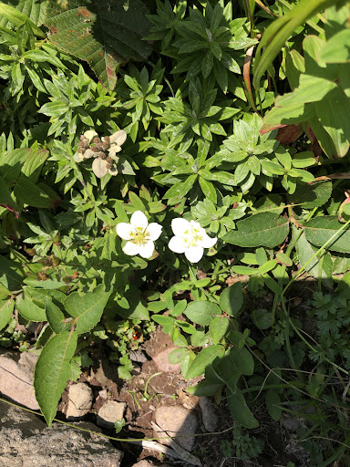
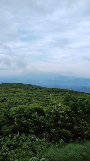
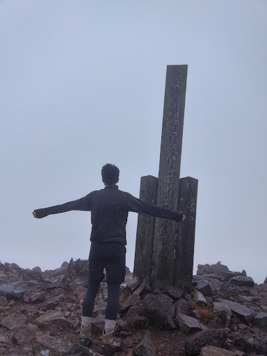
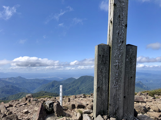
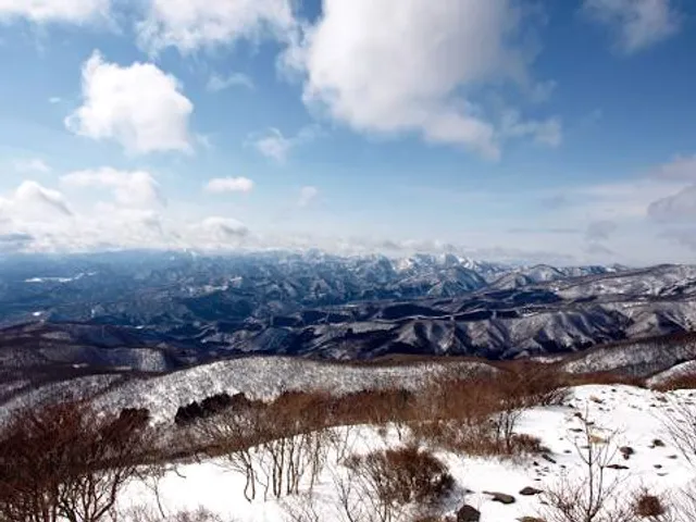
Mount Funagata is a mountain within the Ōu Mountains on the border of Miyagi Prefecture and Yamagata Prefecture in the Tōhoku region of northern Japan. It is listed as one of the "200 famous mountains of Japan" and has a height of 1,500.34 metres.
Outdoor
Adventure
Scenic
Family friendly
Pet friendly
Off the beaten path
attractions: , restaurants: , local businesses:
Plan your stay

Pet-friendly Hotels in Obanazawa
Find a cozy hotel nearby and make it a full experience.

Affordable Hotels in Obanazawa
Find a cozy hotel nearby and make it a full experience.

The Coolest Hotels You Haven't Heard Of (Yet)
Find a cozy hotel nearby and make it a full experience.

Trending Stays Worth the Hype in Obanazawa
Find a cozy hotel nearby and make it a full experience.
Reviews
Live events

Experience at Dewa Sakura Brewery Sake tasting & brewery tour
Fri, Feb 20 • 2:00 PM
994-0044, Yamagata, Tendō, Japan
View details