Takabotchiyama things to do, attractions, restaurants, events info and trip planning
Basic Info
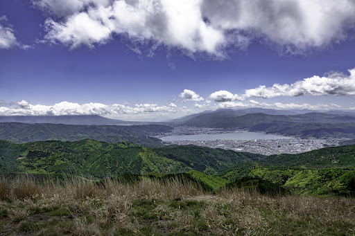
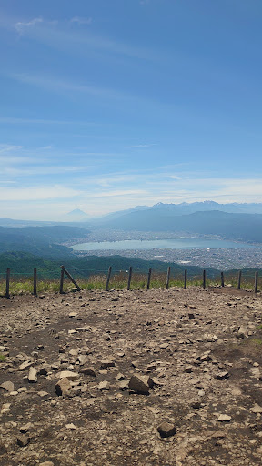
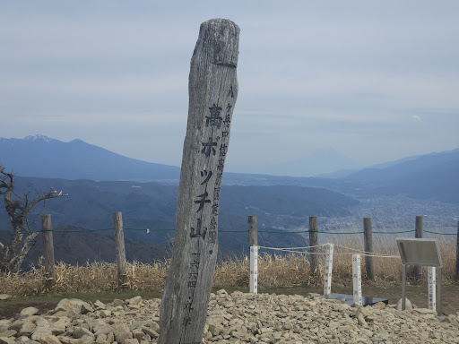
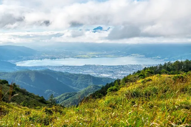
Takabotchiyama
Okaya, Nagano 394-0001, Japan
4.6(151)
Save
spot
spot
Ratings & Description
Info
Outdoor
Scenic
Adventure
Family friendly
Pet friendly
attractions: Takabocchi plateau, Takabotchi Highlands, 高ボッチ高原 見晴しの丘, restaurants: , local businesses:
Plan your stay

Pet-friendly Hotels in Okaya
Find a cozy hotel nearby and make it a full experience.

Affordable Hotels in Okaya
Find a cozy hotel nearby and make it a full experience.

The Coolest Hotels You Haven't Heard Of (Yet)
Find a cozy hotel nearby and make it a full experience.

Trending Stays Worth the Hype in Okaya
Find a cozy hotel nearby and make it a full experience.
Reviews
Live events
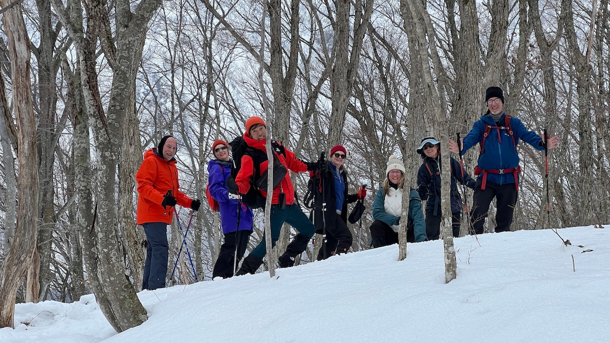
Silent Snowshoe Journey to Ameike Lake
Sun, Feb 22 • 9:00 AM
390-0815, Nagano, Matsumoto, Japan
View details
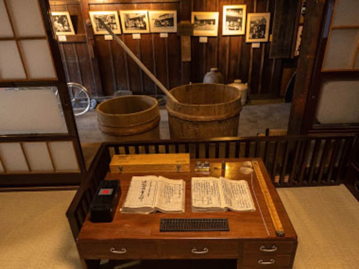
Experience at Kamedaya Sake Brewery Sake tasting & brewery tour
Mon, Feb 23 • 9:00 AM
390-0852, Nagano, Matsumoto, Japan
View details
Nearby attractions of Takabotchiyama
Takabocchi plateau
Takabotchi Highlands
高ボッチ高原 見晴しの丘
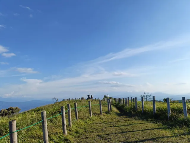
Takabocchi plateau
4.4
(322)
Open 24 hours
Click for details

Takabotchi Highlands
4.4
(605)
Open until 12:00 AM
Click for details

高ボッチ高原 見晴しの丘
4.5
(240)
Open until 12:00 AM
Click for details