Mount Ushiro things to do, attractions, restaurants, events info and trip planning
Basic Info
Mount Ushiro
Chikusacho Koro, Shiso, Hyogo 671-3231, Japan
4.2(40)
Save
spot
spot
Ratings & Description
Info
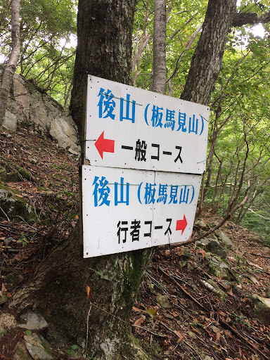
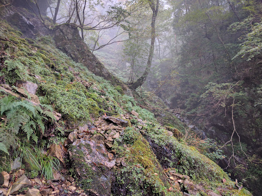
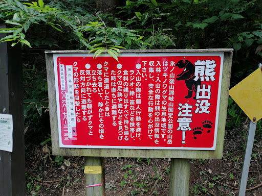
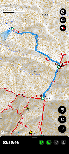
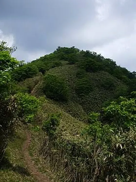
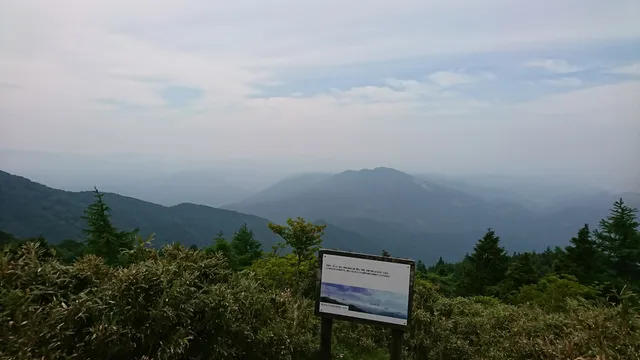
Mount Ushiro is a mountain on the border of Shisō, Hyōgo Prefecture, and Mimasaka, Okayama Prefecture, Japan. It is the highest mountain in Okayama Prefecture and the third highest mountain in Hyōgo Prefecture, after Mount Hyōno and Mount Mimuro.
Outdoor
Adventure
Scenic
attractions: , restaurants: , local businesses: Funakiyama
Plan your stay

Pet-friendly Hotels in Shiso
Find a cozy hotel nearby and make it a full experience.

Affordable Hotels in Shiso
Find a cozy hotel nearby and make it a full experience.

The Coolest Hotels You Haven't Heard Of (Yet)
Find a cozy hotel nearby and make it a full experience.

Trending Stays Worth the Hype in Shiso
Find a cozy hotel nearby and make it a full experience.
Reviews
Nearby local services of Mount Ushiro
Funakiyama
Funakiyama
3.8
(10)
Click for details