Mount Daibosatsu things to do, attractions, restaurants, events info and trip planning
Basic Info
Mount Daibosatsu
Tabayama, Kitatsuru District, Yamanashi 409-0301, Japan
4.5(201)
Save
spot
spot
Ratings & Description
Info
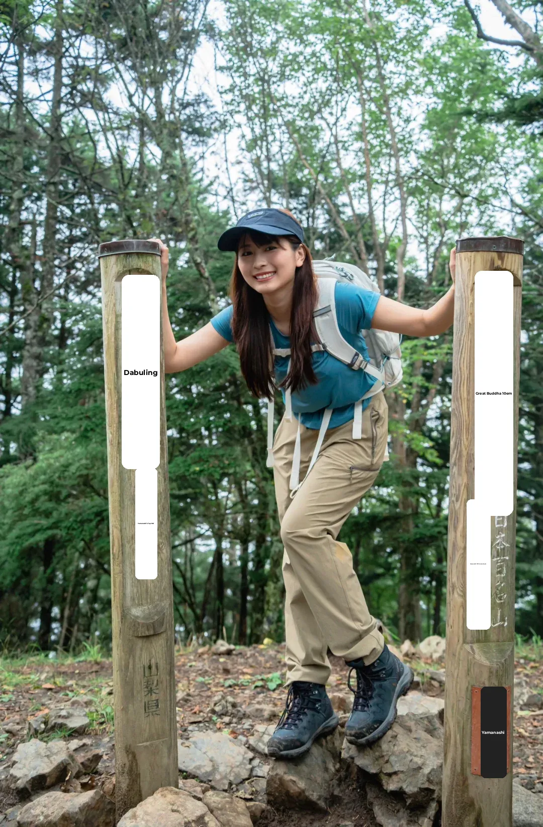
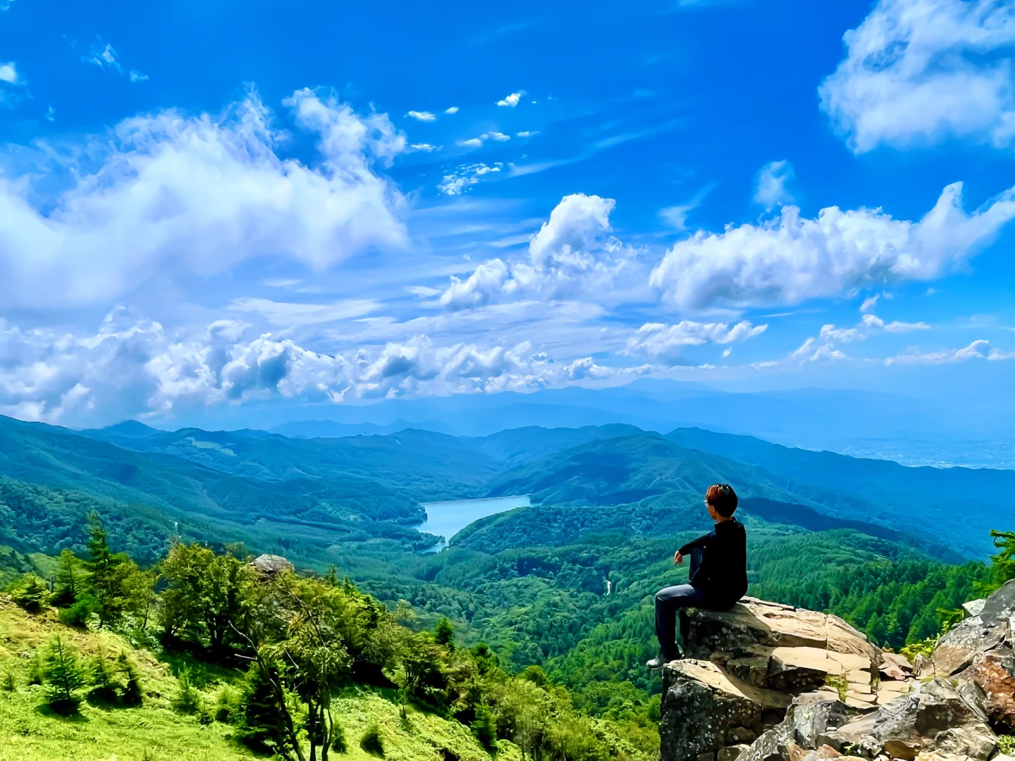
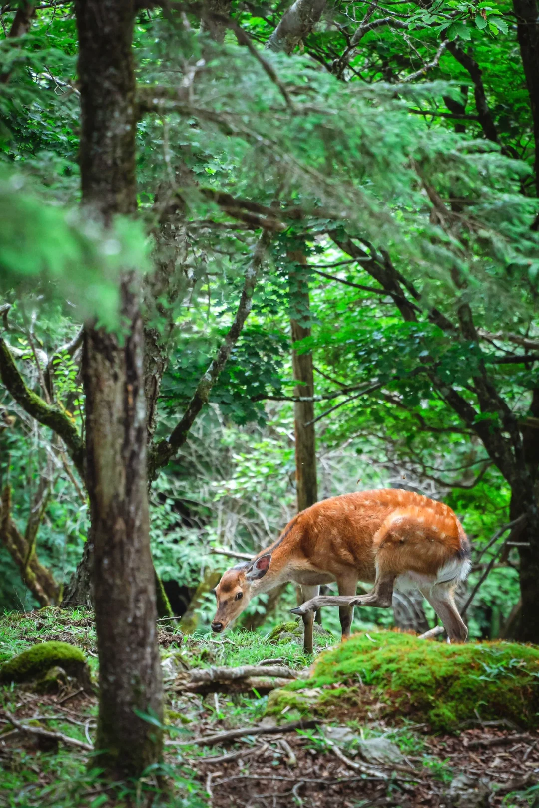
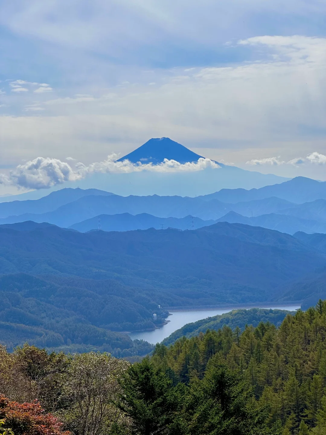
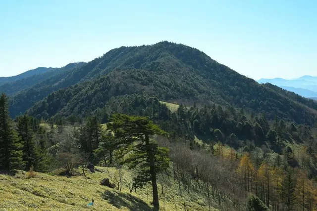
Mount Daibosatsu stands in the Yamanashi side of Chichibu-Tama-Kai National Park. The peak itself is in Kōshū, Yamanashi. It is 2,057 metres high. Daibosatsu Pass divides Kōshū from Kosuge Village. Trails lead to the top from Kōshū, Tabayama, and Kosuge. Daibosatsu is one of the 100 Famous Mountains of Japan.
Outdoor
Adventure
Scenic
Off the beaten path
attractions: 大菩薩嶺, restaurants: , local businesses:
Plan your stay

Pet-friendly Hotels in Tabayama
Find a cozy hotel nearby and make it a full experience.

Affordable Hotels in Tabayama
Find a cozy hotel nearby and make it a full experience.

The Coolest Hotels You Haven't Heard Of (Yet)
Find a cozy hotel nearby and make it a full experience.

Trending Stays Worth the Hype in Tabayama
Find a cozy hotel nearby and make it a full experience.
Reviews
Live events
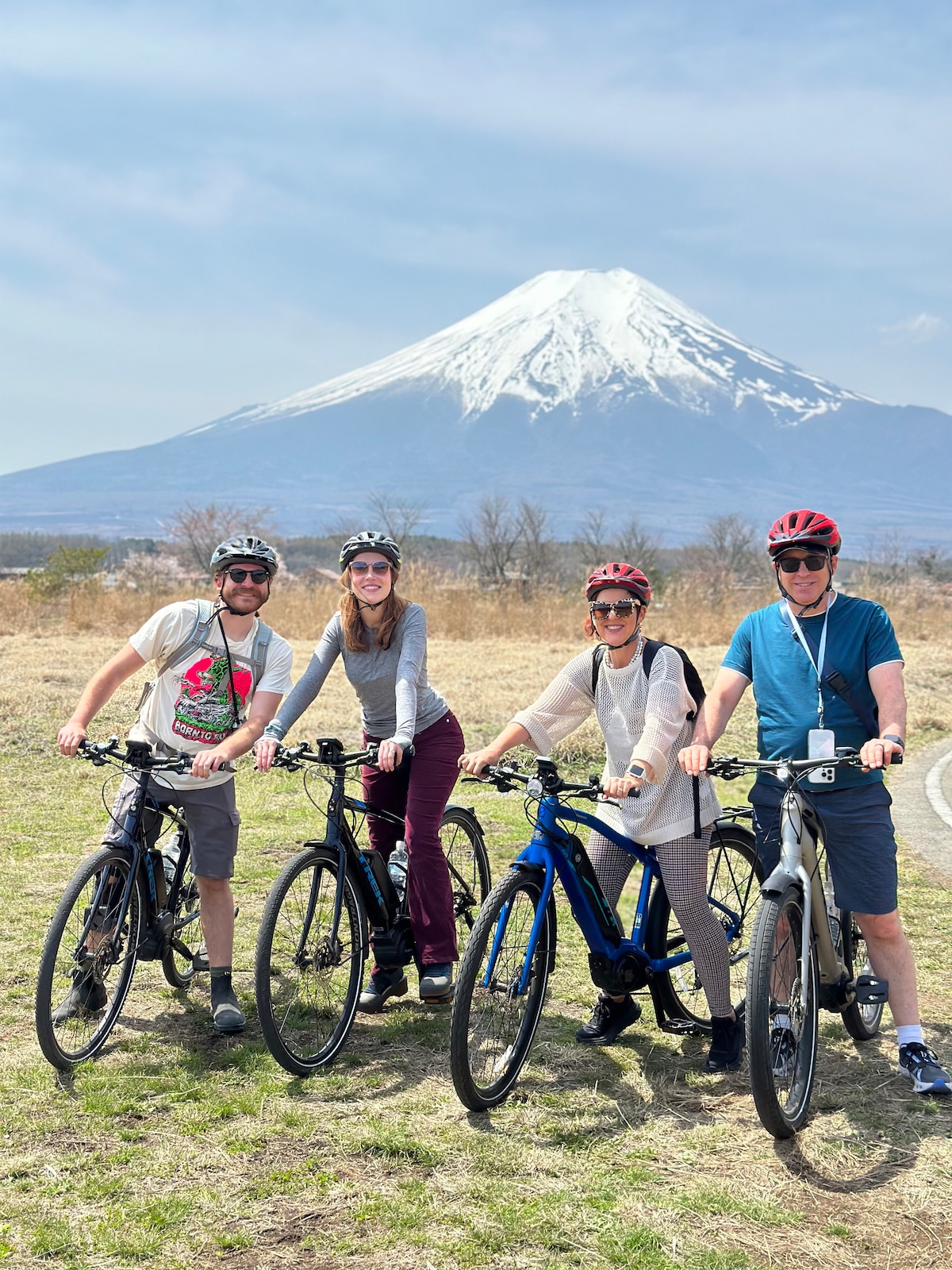
Mount Fuji Countryside & Lake Cycling E-Bike Tour
Sat, Feb 28 • 10:15 AM
403-0005, Yamanashi, Fujiyoshida, Japan
View details

Carve chopsticks from cypress wood
Thu, Feb 26 • 11:00 AM
403-0004, Yamanashi, Fujiyoshida, Japan
View details
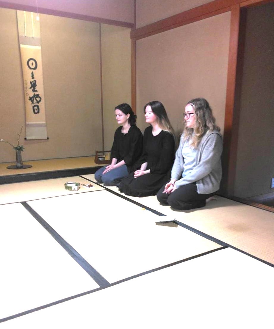
Tea ceremony at the foot of Mt. Fuji Make tea with natural water from Mt. Fuji
Wed, Feb 25 • 1:30 PM
403-0014, Yamanashi, Fujiyoshida, Japan
View details
Nearby attractions of Mount Daibosatsu
大菩薩嶺
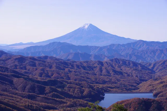
大菩薩嶺
4.4
(155)
Open until 12:00 AM
Click for details