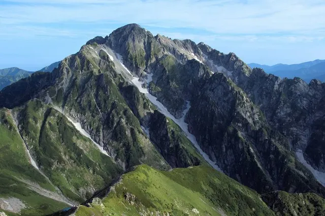
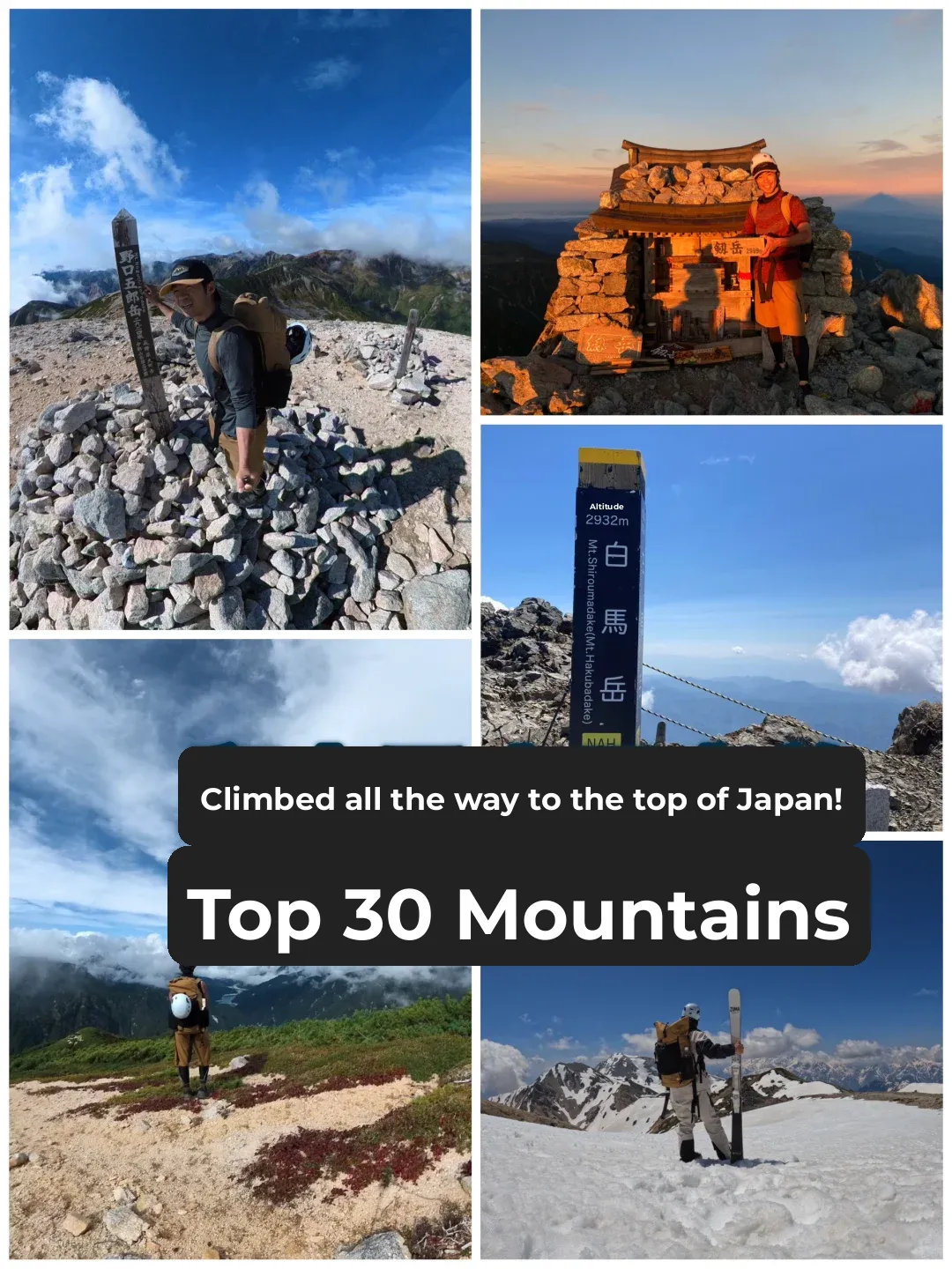
[15-18 July 2025] One of my favourite hikes ever!
Day 1 : Tokyo Toyama Tateyama (~6 hrs)
Day 2 : Tateyama Bijodaira Murodo Kenzanso Hut (~6 hrs)
Day 3 : Kenzanso Hut Tsurugi-dake Summit Kenzanso Hut (~6hrs) Rain, sleep
Day 4 : Kenzanso Hut Murodo Tokyo (~12hrs)
Cost: ~66k yen
As long as we have some rock climbing experience & Mt.Tanigawa, it is actually not that hard/technical. However, the risk is real. A good 3-point-contact/grip is essential, and no paralizing fear of heights.
Upon arriving at Murodo, there were staff asking hikers to fill up the hiking form and asking a lot of questions to ensure it was not just a casual hike; e.g., share the names of mountains that we've hiked before and which were the hardest, are we aware that there will be climbing skills needed, tiny footholds, if we brought rain jacket, etc. Safety First.
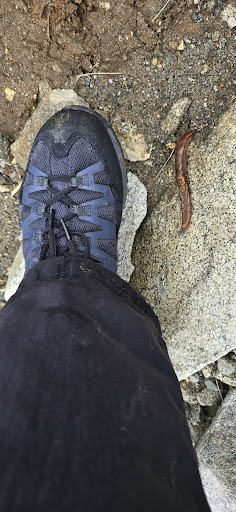
There were still around 6 areas that we must cross some leftover snow to get to Kenzanso Hut. Trekking poles can be helpful to support footing there, but I didn't bring any, and it was still okay.
Rented a helmet (for falling rocks) from the Hut. I hike on weekdays, so only passed by 4 people along the chain area, so no falling rocks.
The hut didn't have any quickdraws/via-ferrata lanyards for rent, so if you want it for extra safety, rent/get it in Tokyo.
Left my big bag at the Hut, only bringing essentials for the summit.
Hut staff updates the day's forecast on the wall at 4.30am. It was forcasted as cloudy on my summit-hike day but turned to drizzle with 45-90degree wind at the top, so it was shivering cold, so dress accordingly. Drizzling rain was still okay, not as slippery but just extra careful. (But I guess it was better than scorching hot ?)
All paths/sections are well marked, hence not easy to get lost. There are 15 official chain sections, including straight-down vertical ladder, but some are minor.
The rain got heavier just when I got back to the Hut, so had to sleep another night as I was already drenched from the summit trip. (planning a buffer day helps here)
Last bus from Murodo is quite early, so plan/time your hikes...
Read more