Mount Gassan things to do, attractions, restaurants, events info and trip planning
Basic Info
Mount Gassan
Haguromachi Kawadai, Tsuruoka, Yamagata 997-0131, Japan
4.6(254)
Save
spot
spot
Ratings & Description
Info
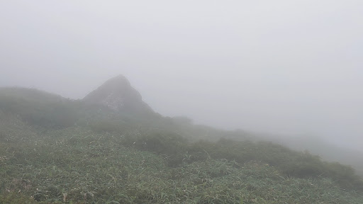
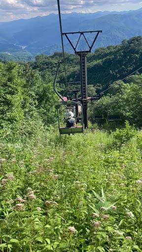
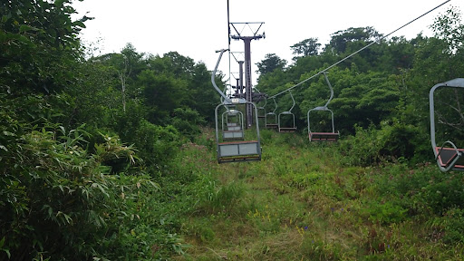
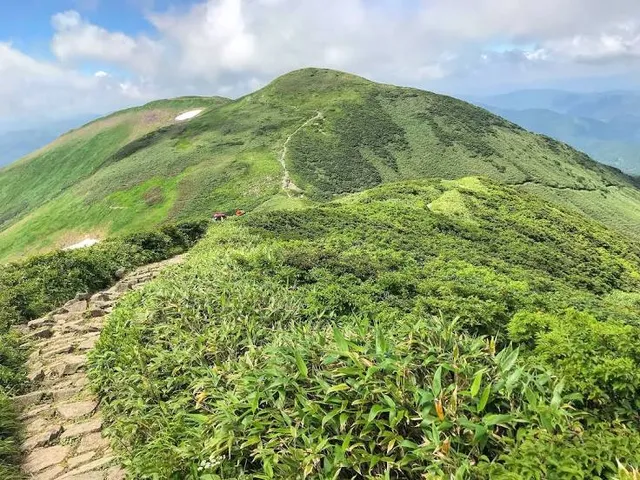
Mount Gassan is the highest of the Three Mountains of Dewa and a stratovolcano in the ancient province of Dewa. The Gassan Shrine stands at the mountain's summit, 1,984 metres above sea level. It has a long hike from its trailhead and usually requires about 4-5 hours to hike it.
Outdoor
Adventure
Cultural
Scenic
Off the beaten path
attractions: , restaurants: , local businesses: Gassan Shrine
Plan your stay

Pet-friendly Hotels in Tsuruoka
Find a cozy hotel nearby and make it a full experience.

Affordable Hotels in Tsuruoka
Find a cozy hotel nearby and make it a full experience.

The Coolest Hotels You Haven't Heard Of (Yet)
Find a cozy hotel nearby and make it a full experience.

Trending Stays Worth the Hype in Tsuruoka
Find a cozy hotel nearby and make it a full experience.
Reviews
Live events
Roast your own coffee beans and compare the flavors Roasted coffee beans as a souvenir
Fri, Feb 27 • 1:30 PM
990-0503, Yamagata, Sagae, Japan
View details
Nearby local services of Mount Gassan
Gassan Shrine

Gassan Shrine
4.5
(177)
Click for details