Jebel Tisouka things to do, attractions, restaurants, events info and trip planning

Basic Info
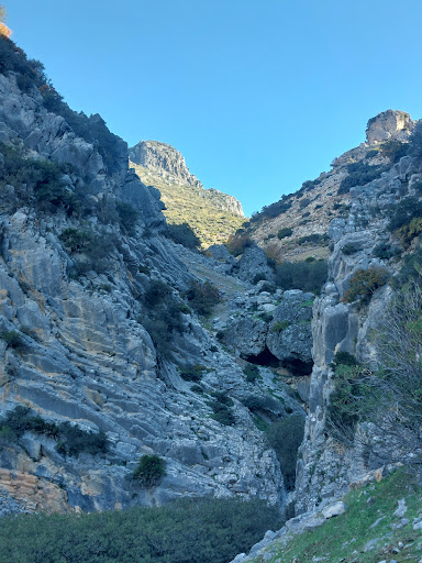
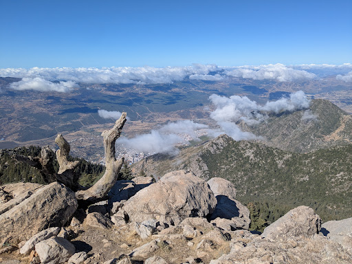
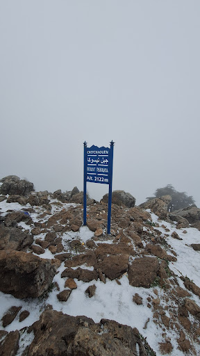
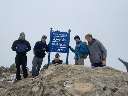
Jebel Tisouka
Morocco
4.8(34)
Save
spot
spot
Ratings & Description
Info
Outdoor
Adventure
Scenic
Cultural
Off the beaten path
attractions: , restaurants: , local businesses:
Plan your stay

Pet-friendly Hotels in Caïdat de Bab Taza قيادة باب تازة
Find a cozy hotel nearby and make it a full experience.

Affordable Hotels in Caïdat de Bab Taza قيادة باب تازة
Find a cozy hotel nearby and make it a full experience.

The Coolest Hotels You Haven't Heard Of (Yet)
Find a cozy hotel nearby and make it a full experience.

Trending Stays Worth the Hype in Caïdat de Bab Taza قيادة باب تازة
Find a cozy hotel nearby and make it a full experience.
Reviews
Live events

Cooking Traditional Tajin in an Organic Farm
Sun, Mar 1 • 11:00 AM
Chefchaouen, 91000, Morocco
View details

Explore the blue city and watch the sunset
Tue, Feb 24 • 12:00 PM
Chefchaouen, Morocco
View details